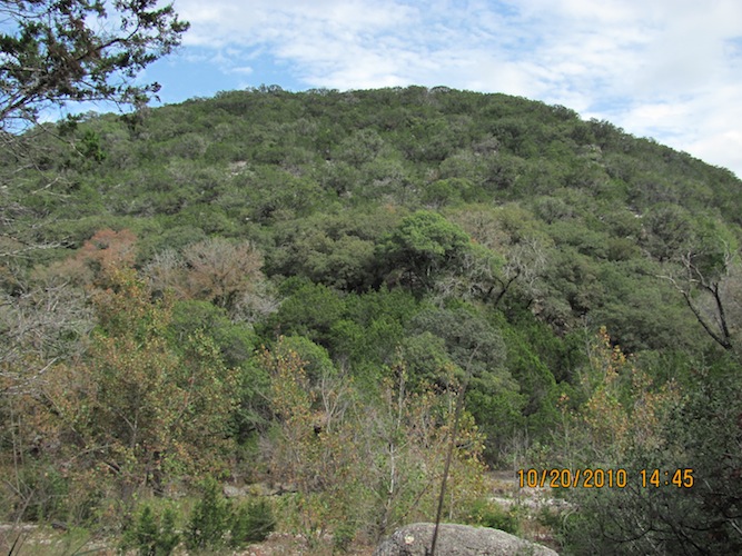
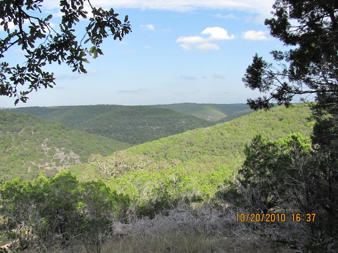
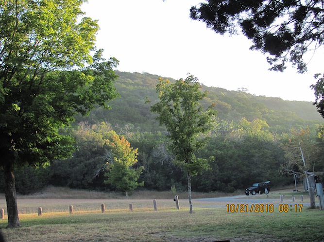
Today was another big day for me. The fabled Lost Maples park I have always heard about and only recently saw photos of. Lost Maples is situated north of Hwy 90 and south of I-10 off Ranch Road 187. It covers over 2170 acres in Bandera and Real counties, which is west of San Antonio, and between Sabinal and Junction City. There are 11 miles of hiking trails and half a mile of nature trails. A lot of the hiking trails are (to me) rugged, with steep climbs and descents on loose rocks. It is so worth it, though, with the fall foliage changes and the beautiful scenery where you can see for miles from hilltops. A caution is no cell service out there for about 45 miles out from the park with the possible exception of emergency calls. Even hilltops won't get you reception.
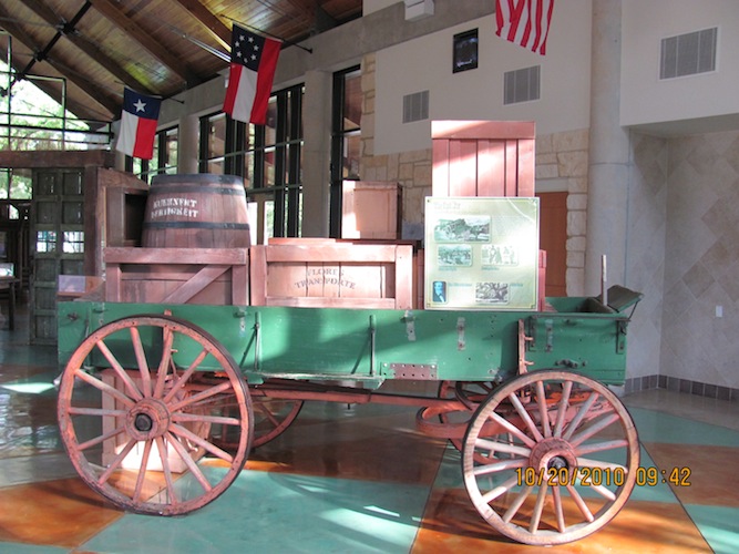
I got up early and loaded up the little truck and checked and double-checked everything before I left town. On the way there, I pulled off for a break and found the wagon inside the public rest facility. After I left, I spied a Jeep with a trailer, A very nice rig! I stopped next to the man checking things over and introduced myself. I found that he is a member of Expedition Portal, like me. He has to be! He was headed out to San Antonio to pick up his girlfriend before heading out together to Big Bend for the week.
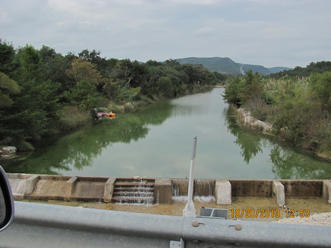
I chose to cut right through San Antonio by staying on I-10 to Hwy 90 and going west on it. If you need to refuel on Hwy 90 west of San Antonio, do it in Hondo, not in Castroville. Hondo's prices are in line with major cities, gas or food. Castroville is a big rip-off. Just after noon, I turned off onto Hwy 127 when I got to Sabinal and headed north.
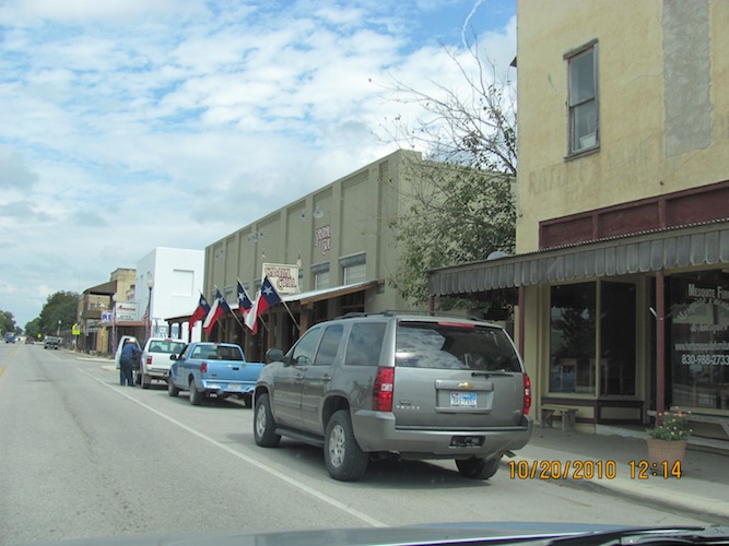
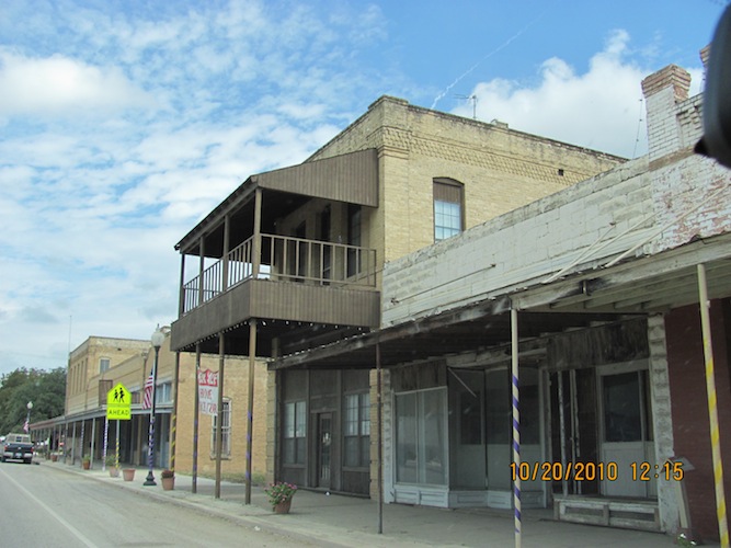
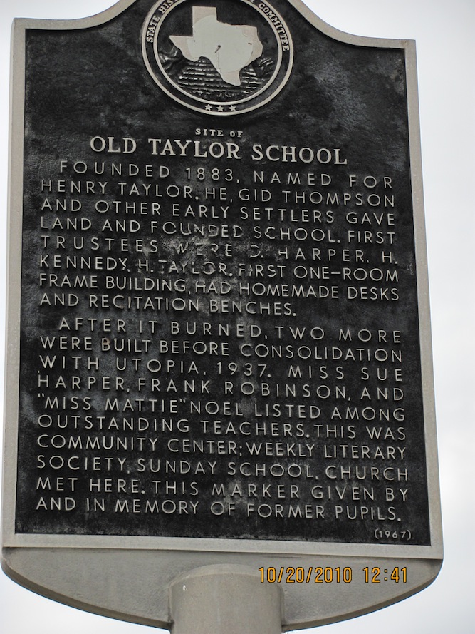
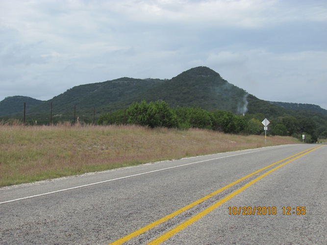
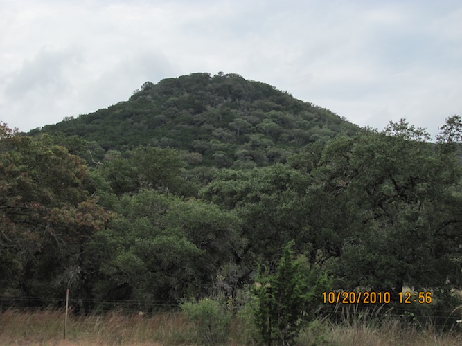
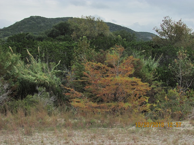
Not long after you get out of Sabinal, Hwy 127 turns to the northwest and is also known as County Road 330. Stay straight ahead to transition to Ranch Road 187. I drove north through Utopia, a little interesting town. I hit Ranch Road 470, but turned left to stay on 187 to Vanderpool. Somewhere along the way is Old Taylor School, which only has a foundation, I believe. About 45 minutes out, I lost signal and thusly my GPS function on the phone (as I don't have the GPS app on here that would work regardless of access to cell service). I only had emergency service at this point, so I turned off the phone to conserve power and kept it charged up.
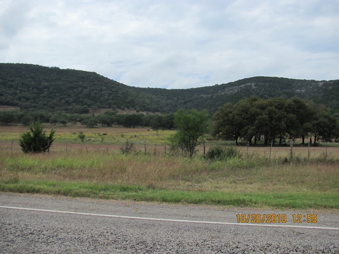
Here is Vanderpool right along 187, which I turned off of to the east to get this photo.
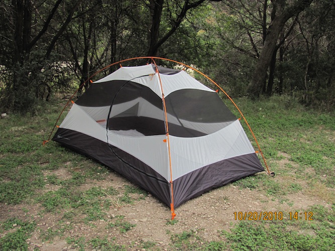
A little while later, I pulled into the park office around 1 30 PM to check in. By around 2 30 PM, I had my camp site set up and ready to prep for the first hike today.
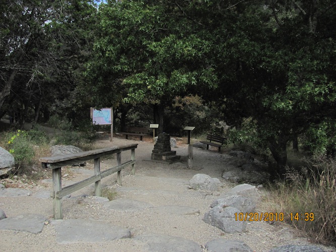
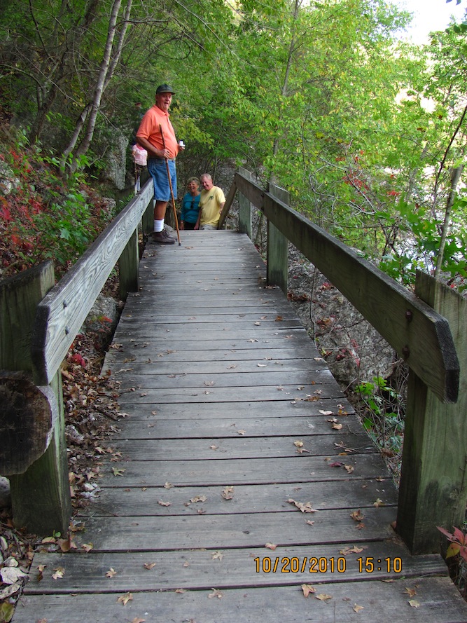
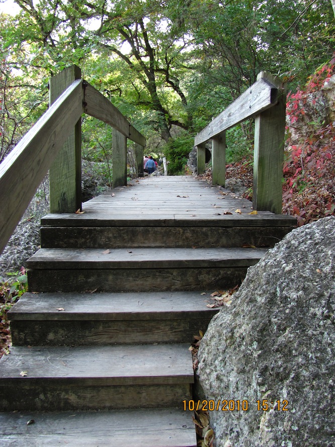
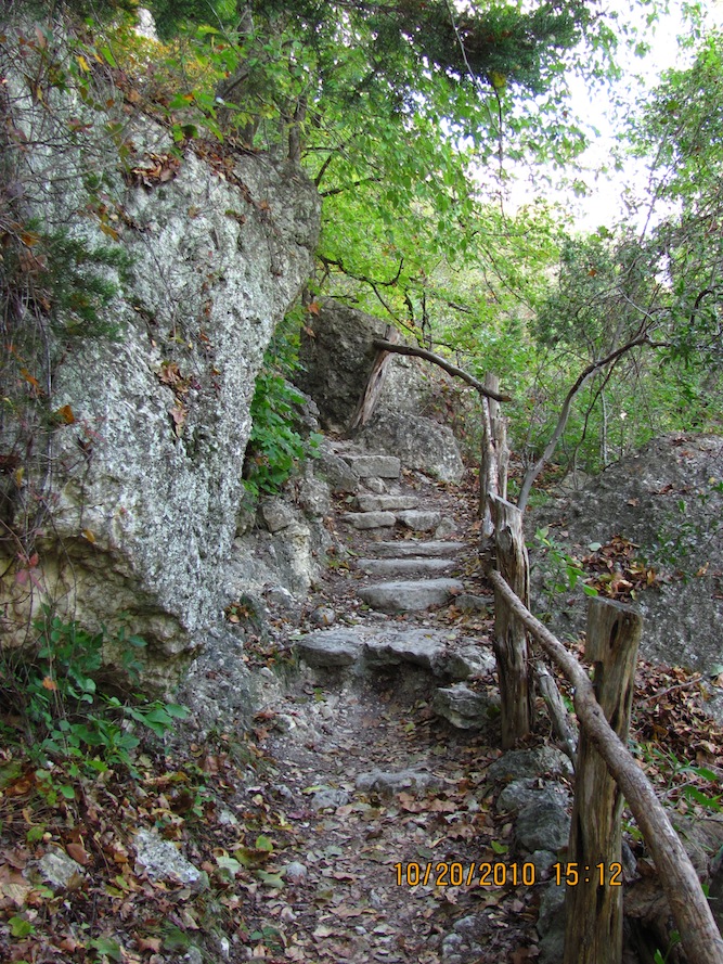
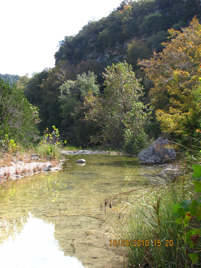
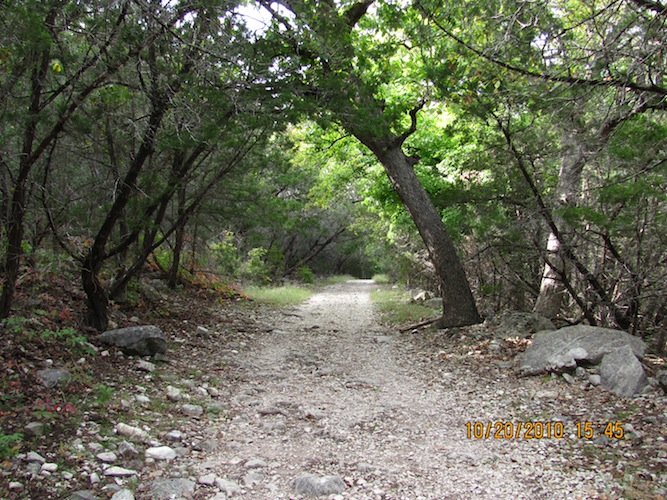
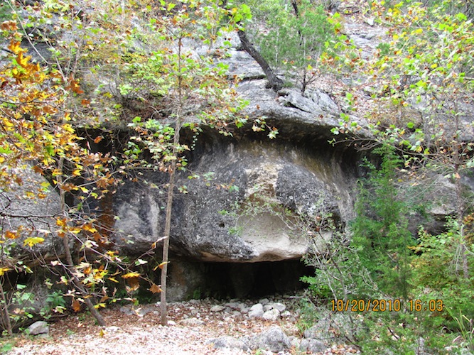
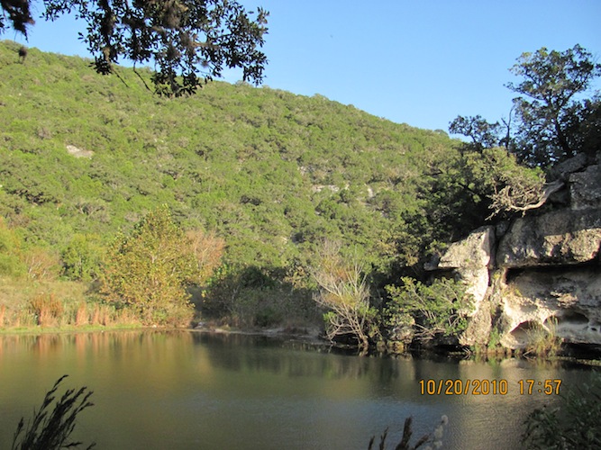
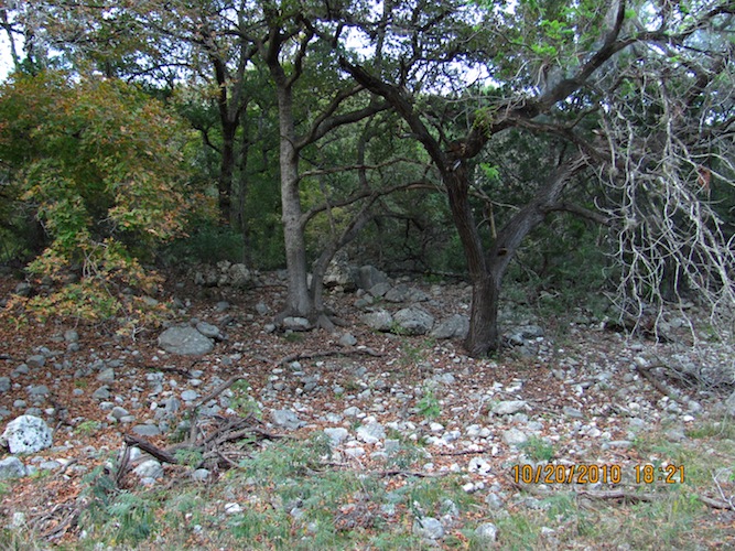
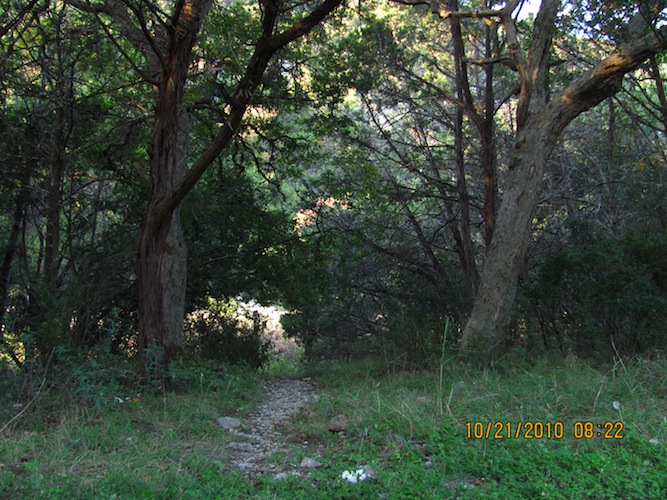
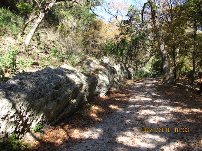
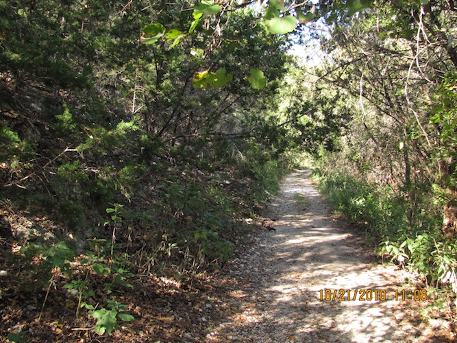
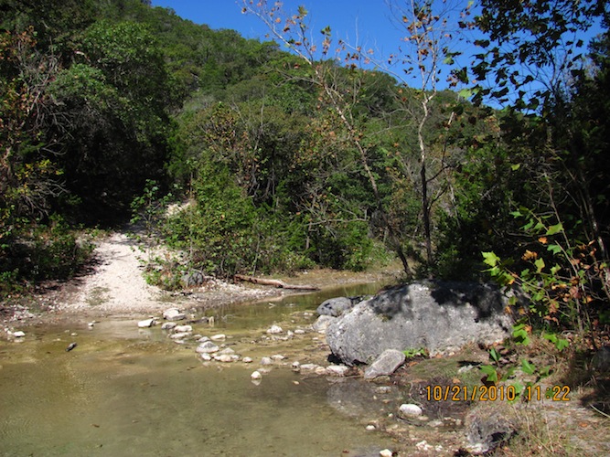
Today, I chose to hike the Maple Trail, so I parked at the north trailhead and took off from there just after 2 30 PM. This is the entrance to the Maple Trail, and you can choose to go this way or the East Trail. The Maple and East trails run along together to either side of the Sabinal river until the Maple Trail cuts over to the right across the river to join up with the East Trail.
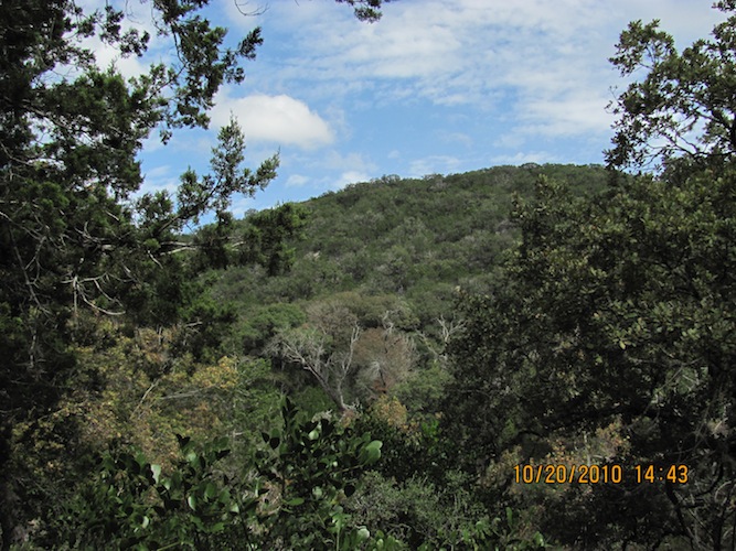
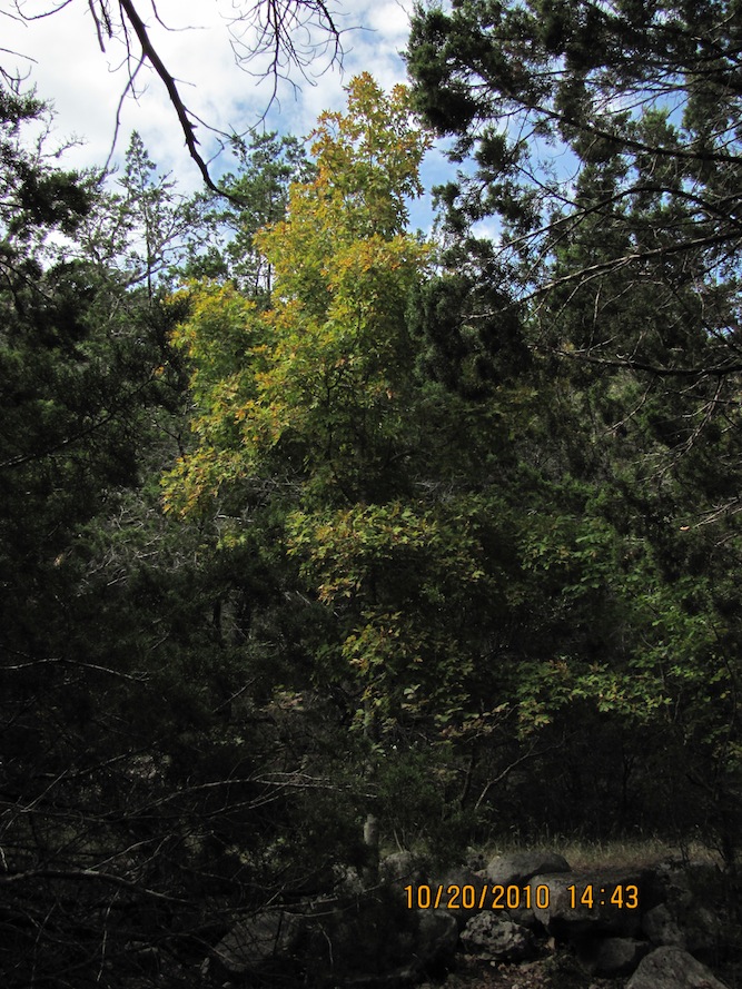
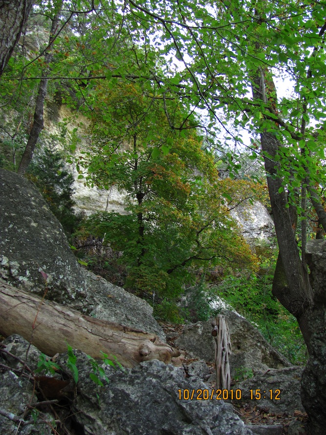
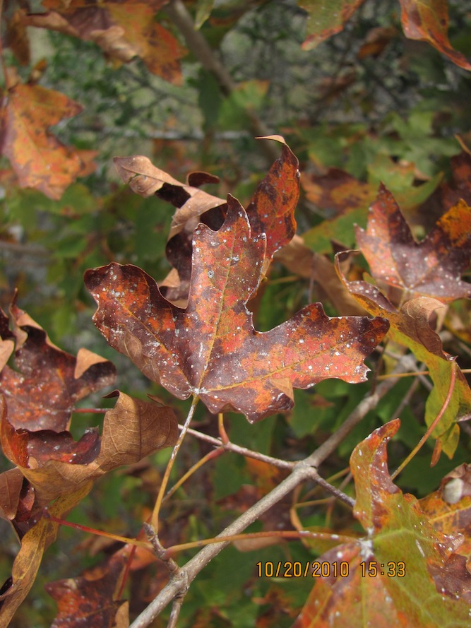
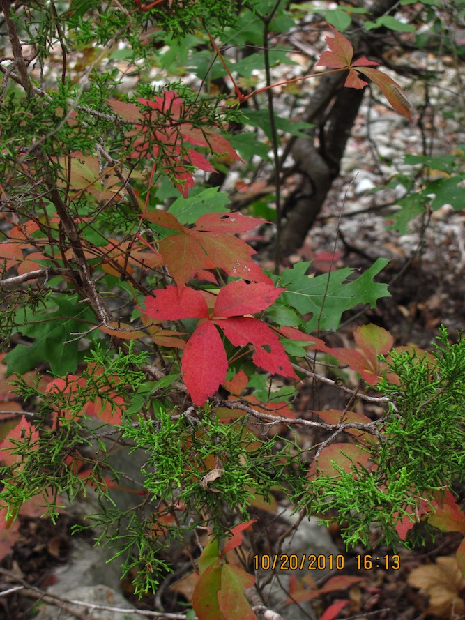
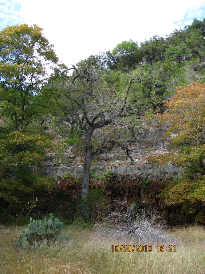
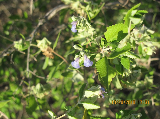
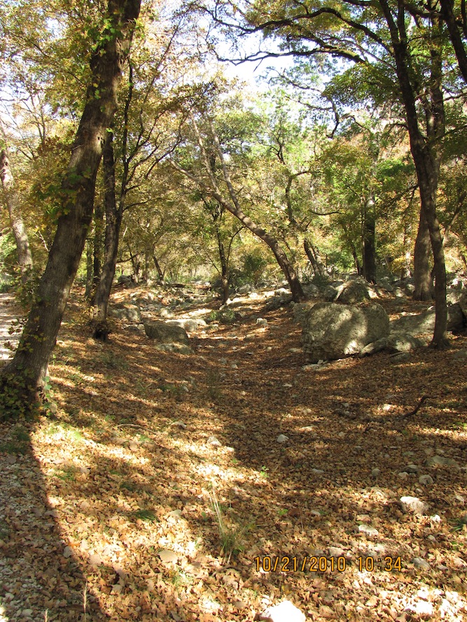
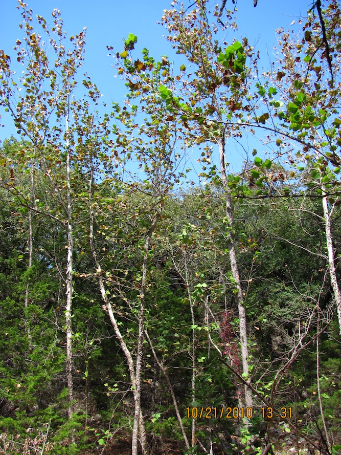
It was evident that the majority of the trees hadn't started turning much, and there were a few starting to lose their greenage.
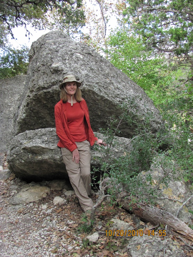
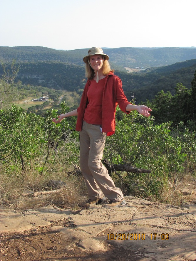
Here I am along the Maple Trail.
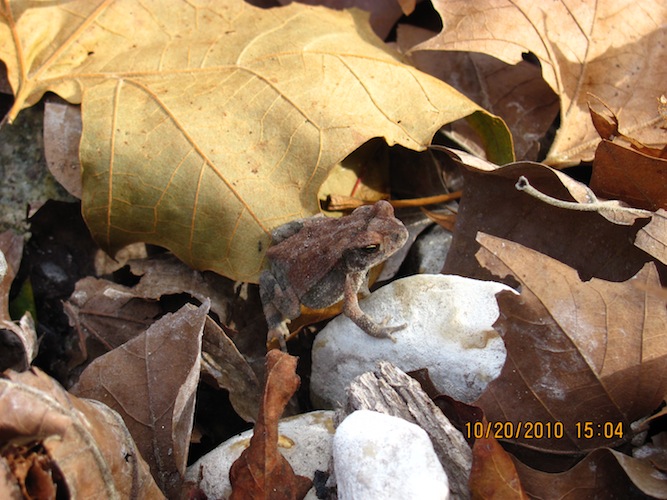
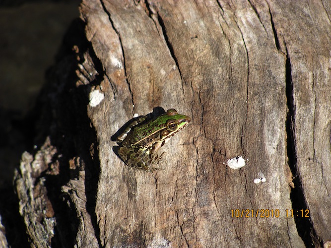
Check out this frog.
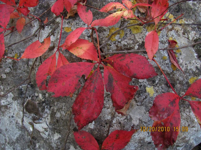
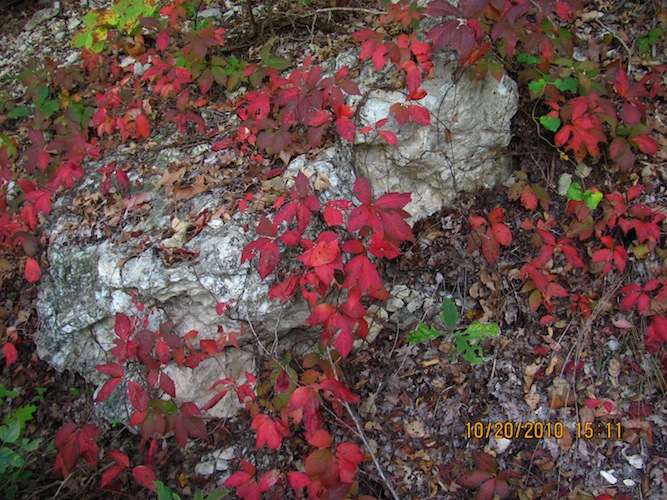
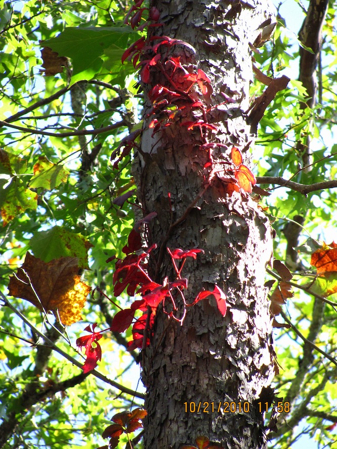
The Maple Trail is a very nice scenic route you should see later in the fall. I did get to see the very red Virginia Creepers along the rocks and the ground.
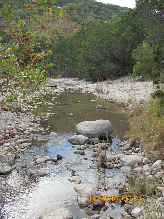
Coming up on the Sabinal river before heading north on the East Trail.
Soon, I would head over to the northwest, where the first campsite is located.
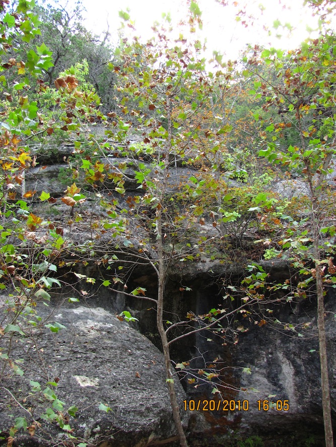
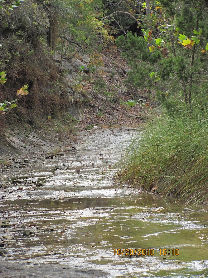
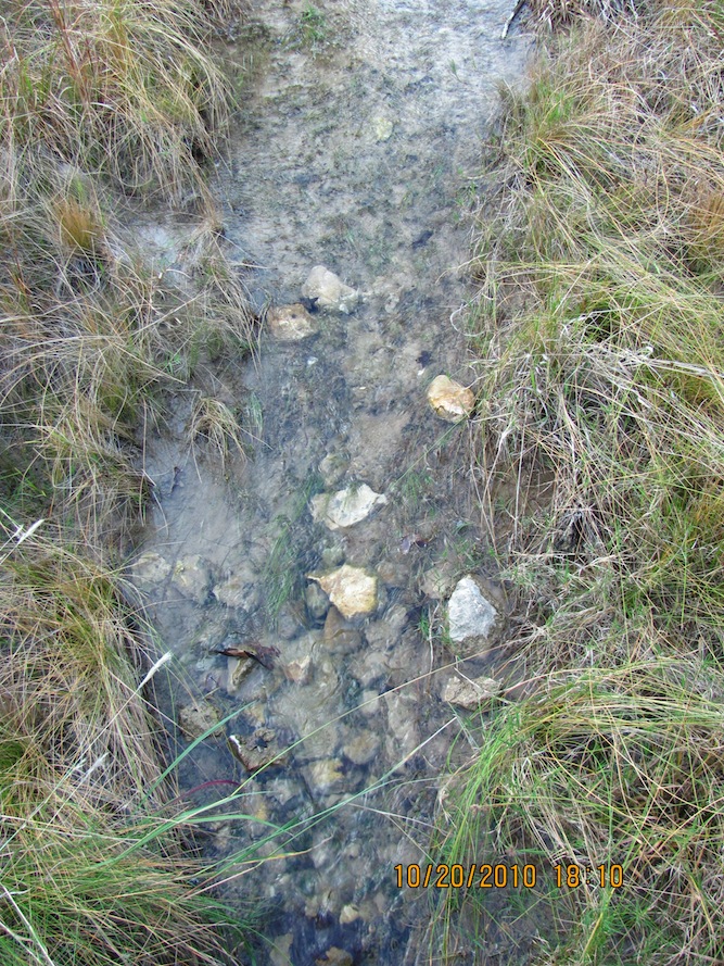
Near the point where the trail crosses over a river again, it becomes Hale Hollow Creek, which meanders from the west.
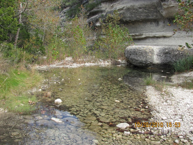
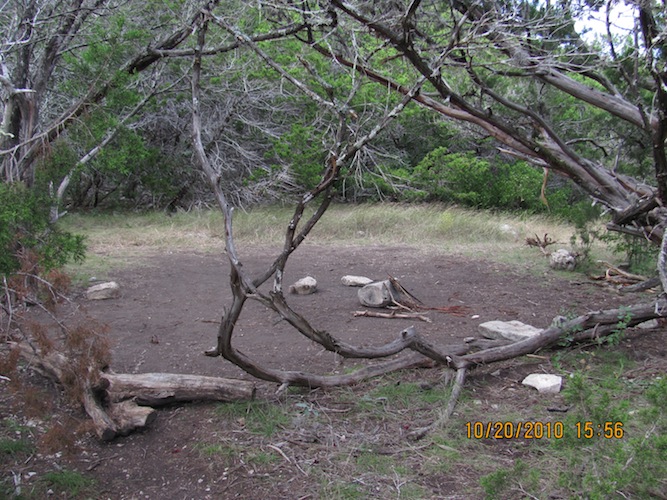
Here is Campsite A. I kept going west.
I crossed back over Hale Hollow Creek again to its south.
Here is some foliage with refreshing colors!
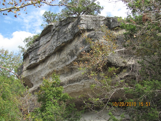
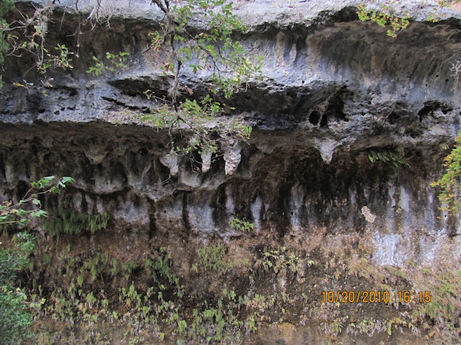
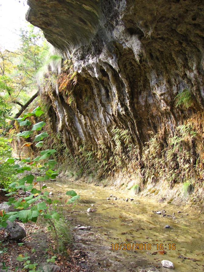
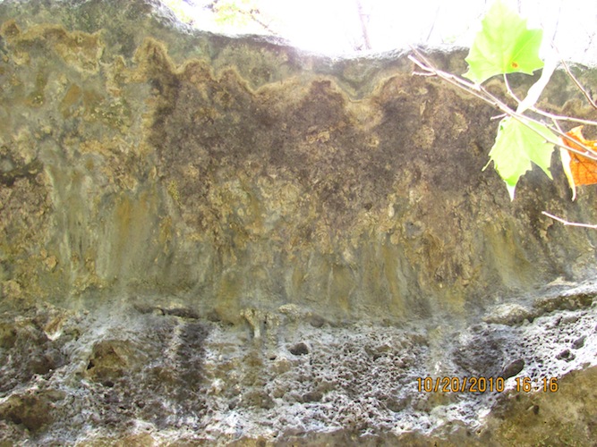
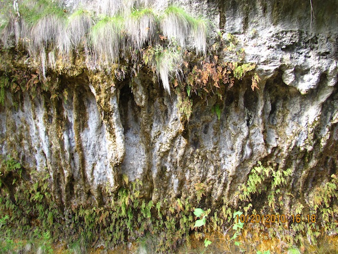
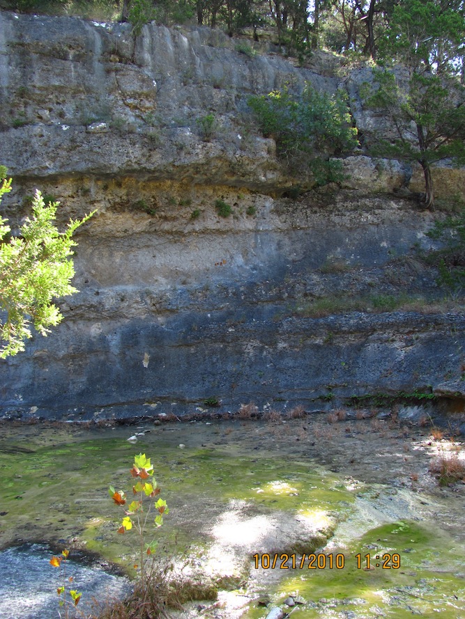
The trail hugged the creek for a short distance before turn south toward the scenic overlook. Here is a beautiful formation along the way.
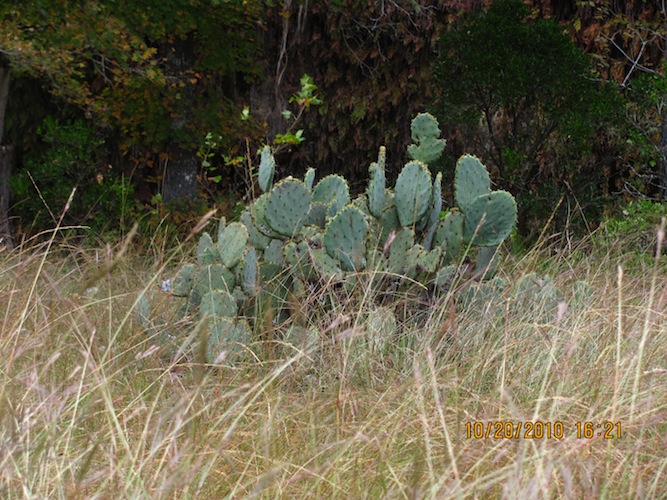
Here's some cactus.
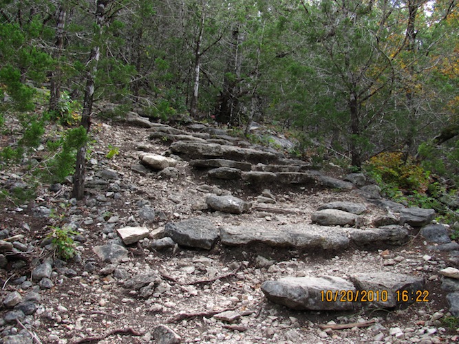
This is the steep, uphill portion of the East Trail before you get near the top. When you get there, you decide if you want to go further south, terminating at the scenic overlook or west to continue on the East Trail. I looked up and realized how steep it is. For me, it was so steep that I found it easier to switch back and forth from side to side in an upward direction across the width of the trail. There was more walking that way, but at least it was many easier steps rather than fewer, but harder steps. I know that I have more endurance than I do strength. I knew I had a long way to go, especially tomorrow!
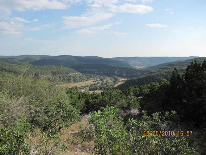
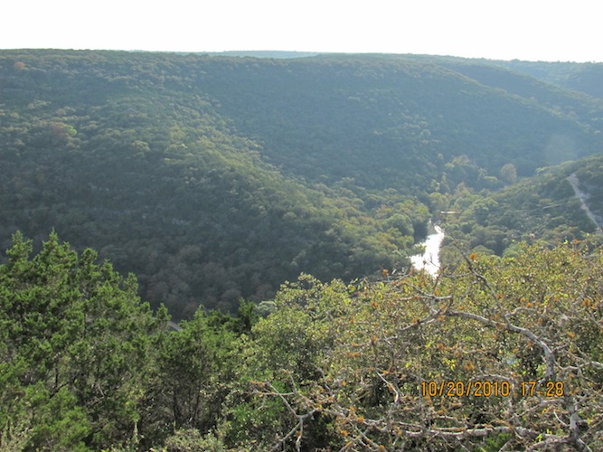
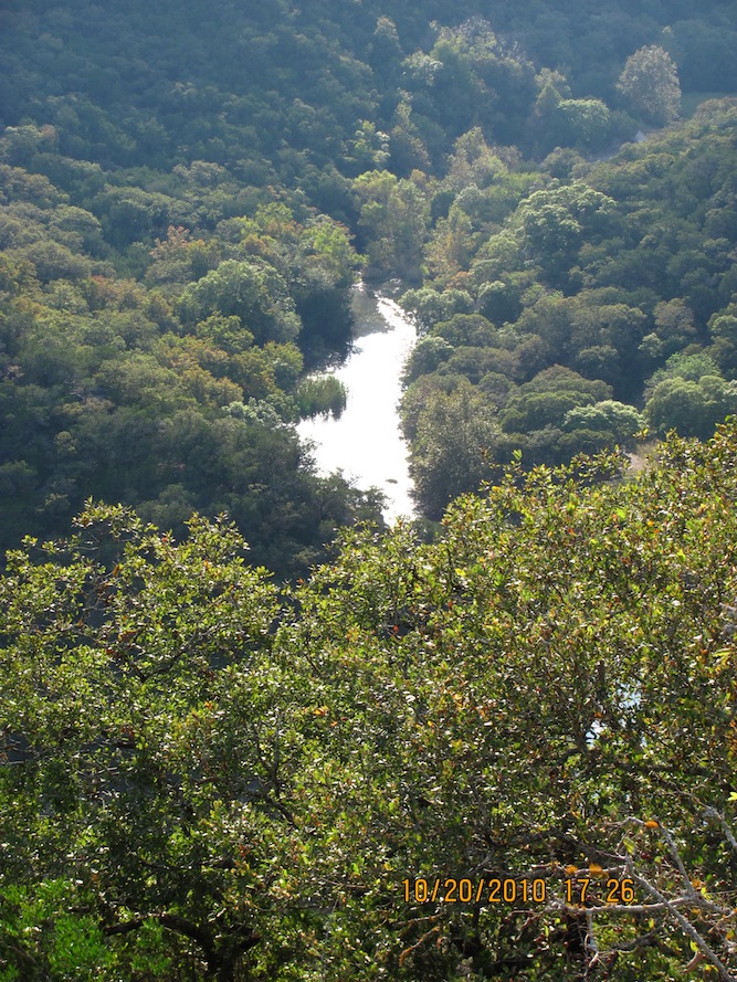
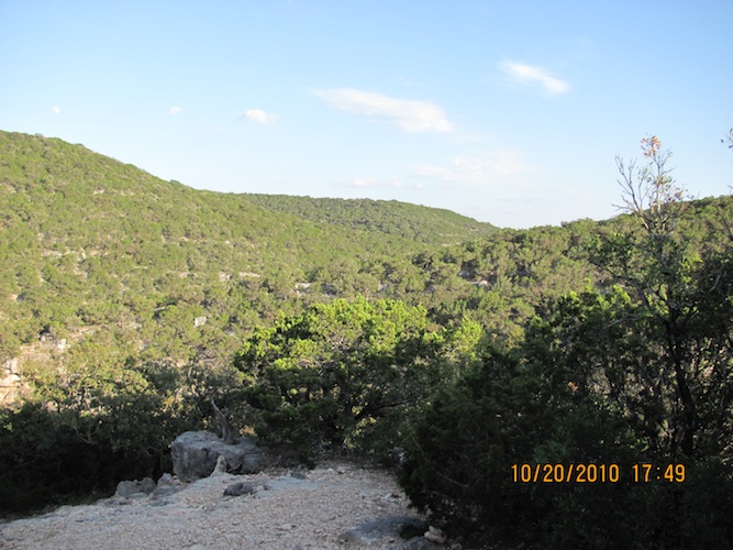
Here is the scenic overlook. I made it! It is beautiful. I took a break to rest from the uphill walk before continuing on. I must be out of shape! I looked at the park map and learned that the "steep" warning with the directional arrow indicates that as you follow the arrow, it gets steep uphill, and if you go against the arrow, you're going downhill.
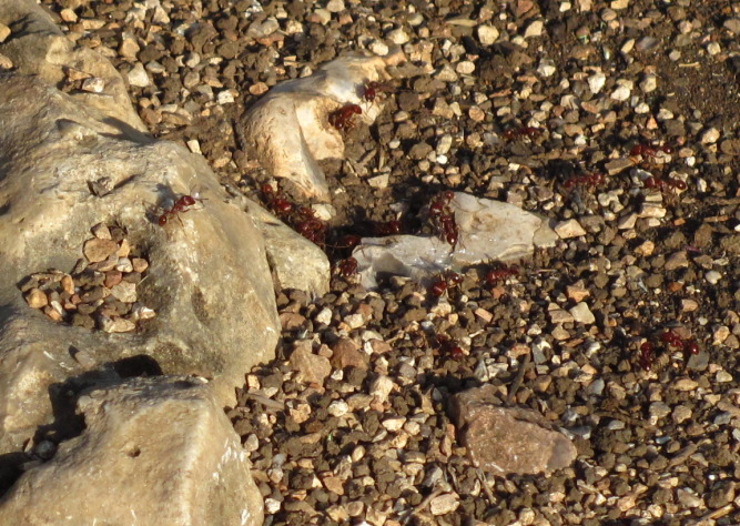
Afterwards, I walked back up the overlook trail to the East Trail and continued on westward. I saw a good-sized colony of ants that I went around and watched for any near my feet while I took this photo. Shortly, I ran into a mother and her adult son visiting from Austin (his mother was visiting from New Zealand). We talked and hiked together for a short while until we got to the next overlook.
At the next overlook before you get to Campsite B.
I went to check out Campsite B before continuing on. The trail starts to head south-southwest before you descend back down in elevation, on the way down in a slightly northeast direction to the ponds along Can Creek.
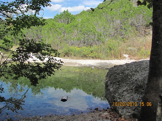
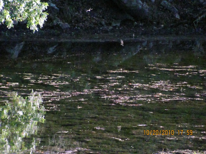
Around 6 PM, I made it to the bottom of the trail near the ponds, where you can keep going eastward on the East Trail or make a sharp turn to go west on the West Trail, which I would hike the next day. I decided to take a potty break and rest from the hilly hike. In the third photo, I looked towards the sun across the pond and noticed dozens of dragonflies flying about. I have tried to capture them in flight but, I don't seem to know how to do that yet. This is a new camera to me, so I'm still learning the ins and outs of taking good photos.
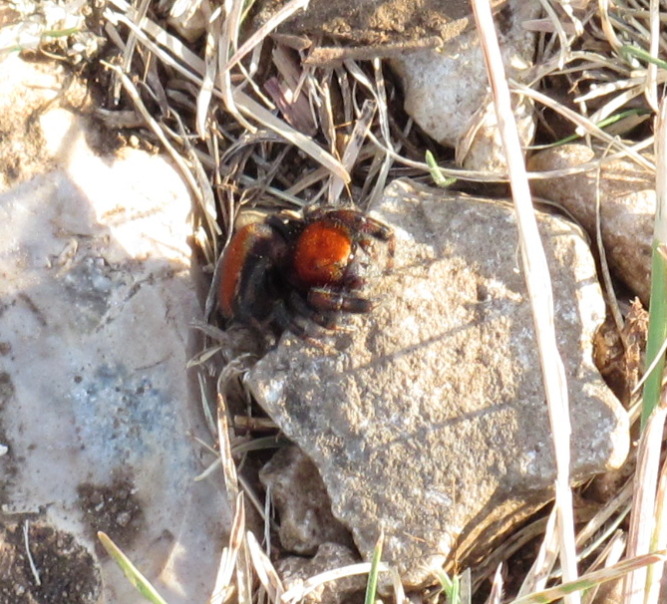
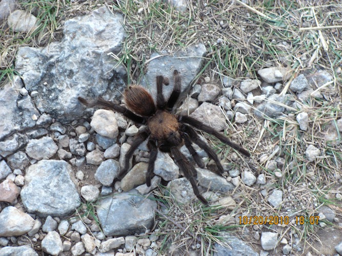
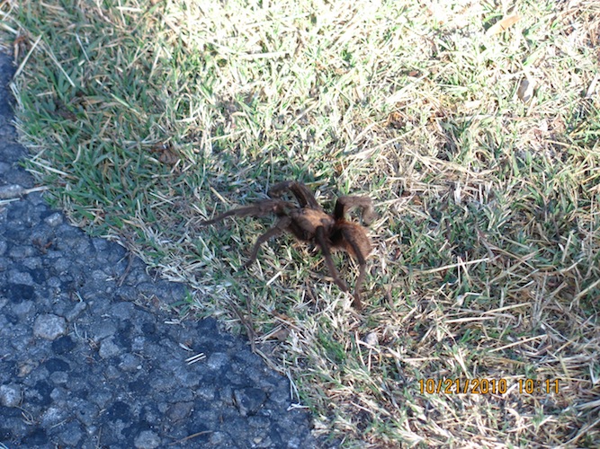
I continued on the last mile or two of the trail. I was VERY tired and my feet were hurting me. I rested a few times in the last two miles. I ran across my first tarantula spider here.
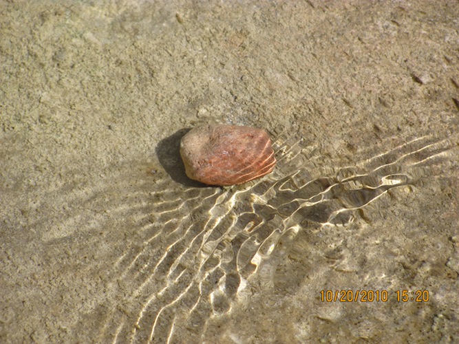
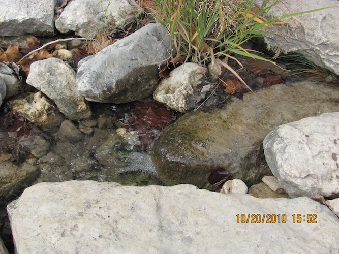
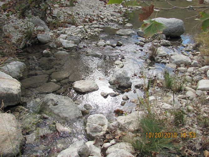
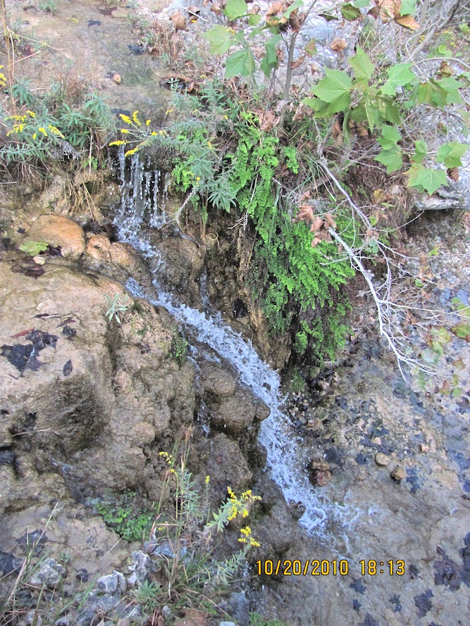
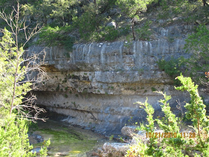
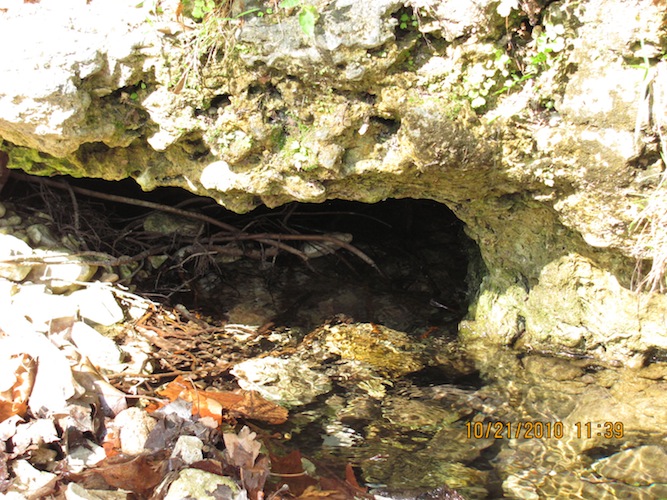
A little bit after that, I crossed Can Creek towards the last part of the trail, a ways before the West Trail and the East Trail converge. I heard water running, which was unusual for me. Where? I didn't see a water fall within a hundred feet of me, so I followed the sound until I found this.
I could see that the sun was going to set in about two hours or so, so I kept going.
I reached the spot where the East Trail and the West Trail converge and where Can Creek and another creek converge as well and kept going east.
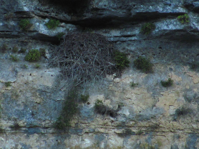
Somewhere along the common trail (the pathway to both the East and West trails), I ran into the sign post for a raptor nest up on the cliff of this hill. I ought to have taken the photo of the sign discussing the nest, but I was so TIRED!
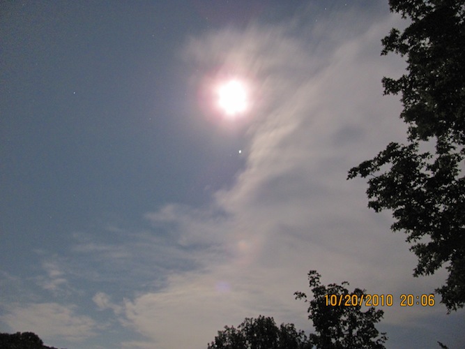
Finally, I made it back to the east trailhead near 7 PM and still had to walk to the north trailhead. I was tired, tired, TIRED! It was a great day! I loved it! I got to get away from it all. Tomorrow, I was to do it again, but wasn't sure if I could even finish the West Trail, since I was so tired! I got back to my campsite and showered at the shower facilities (which has HOT water and is warm inside!). I had no idea of the facilities here! I was shocked. I was sweaty and tired, carrying my daypack containing batteries, two liters of water, food, and my jacket when it was warm enough. I also brought my red sun shirt for sun protection. The trail was very rocky as you could see in some of the photos. What is tiring is constantly watching your step to make sure you have solid footing every step you take; you'd be a long way from help if you misstep... I ate and got ready for bed, but not before I took a 15-second exposure shot of the moon.
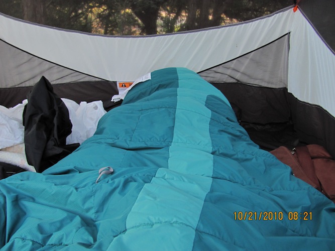
I slept off and on through the night. I'm just not used to sleeping anywhere outside of my bedroom, period! The first thing I saw was this:
Then I looked around my campsite. It looks like another nice day coming up! It wasn't too chilly, and the rising sun felt good.
Actually, I felt rested enough, as I slept in once I could see dawn coming up and put my eye shades on. I got up to stretch out and get ready for another wonderful day of hiking. My feet and legs felt really good, no sign of the soreness from the previous day. That was really encouraging. While walking in the campgrounds, I ran into a husband-wife couple in uniform (park staff). They are nice people living nearby, having moved here from one of the northern states. Montana, I think it was. I asked them advice on hiking the West Trail. They suggested going in the counter-clockwise direction, heading back up to the ponds and taking the West Trail from there towards the West Loop Trail. They were surprised when they found out I did the East Trail and the Maple trail before and where I was going next. I said, "Well, I grew up as a country girl, so it's not that big of a deal to me as far as solitude goes."
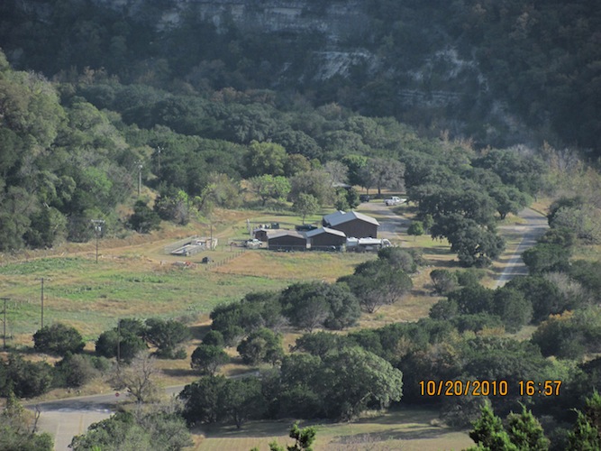
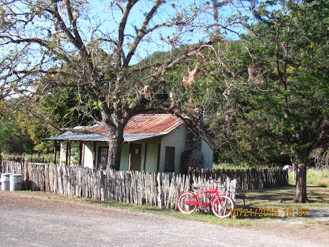
I ate right before I hit the trail from the west trailhead. Near there is an old Park Ranger's house. I ran into an older man at the parking lot to ask him about the house. It turns out he has been going to this park every single year since the early 70s. I told him it was my first time here even though I lived a few hours to the south as a kid. Unfortunately, in the last few years, he has not hiked the more rugged parts of the trail, as he's not able to do them any more. At least he got to do them when he was younger. We bid each other a good day.
Right at the beginning of this hike, at the edge of the parking lot, is where I saw my second tarantula of the trip.
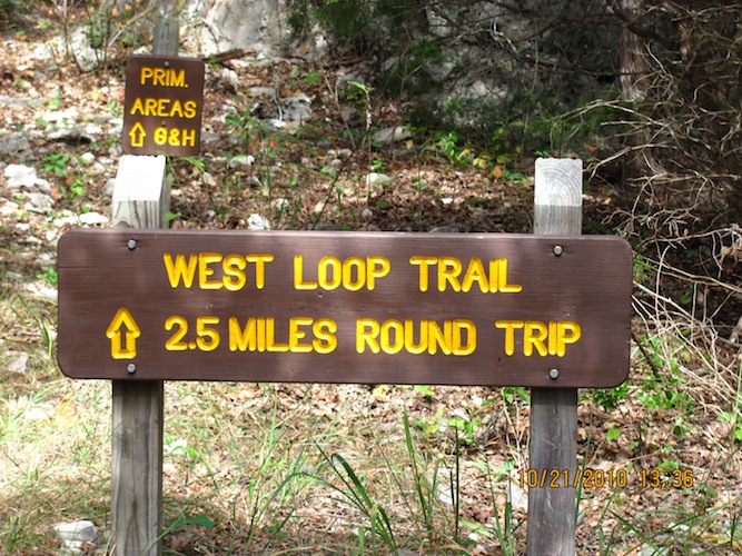
Looking at the map, I decided I wanted to see the West Loop Trail, which feeds off the western part of the West Trail. I headed back up the last part of the East Trail up to the ponds where I would take off to the west on the West Trail on the north side of this loop. Eventually, I would get to the West Loop Trail. On the way to the ponds...
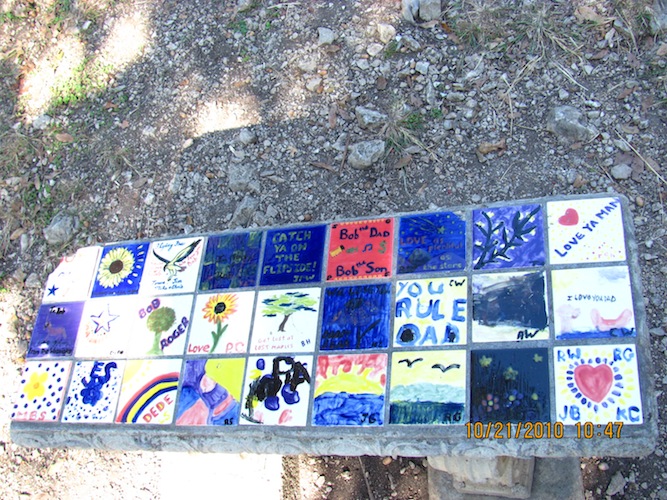
Here is this bench that you'll find at the ponds by Campsite C. This was put together as part of some father-child project and installed there some time ago.
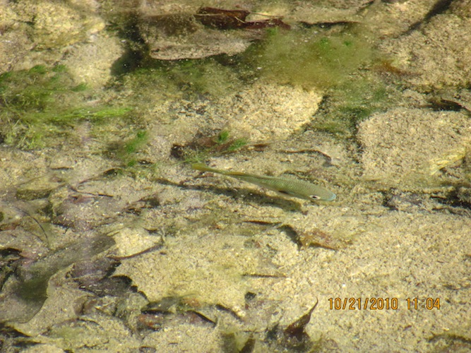
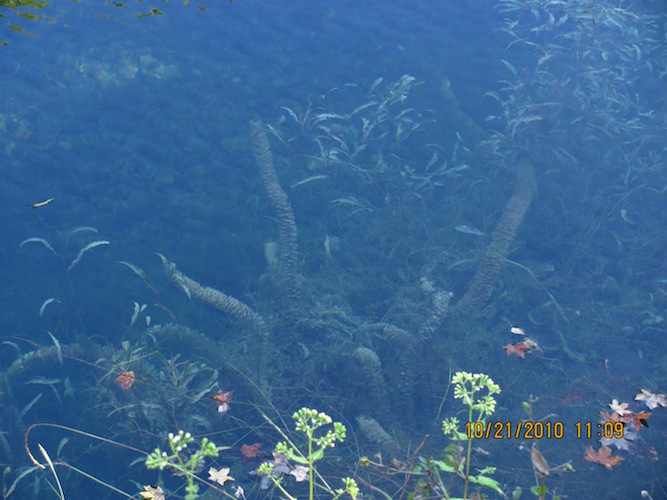
Along the West Trail in this area is the Can Creek. Here, you see a small fish just below the surface.
Continuing on:
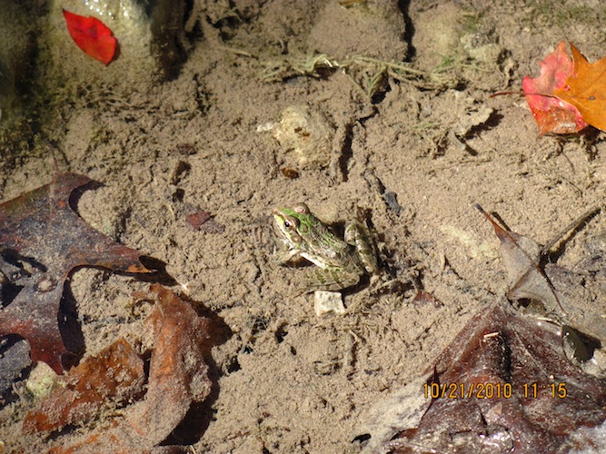
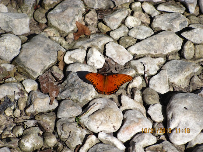
Before I reached the fork to the West Loop Trail, I saw these frogs and a butterfly basking in the sun by the creek.
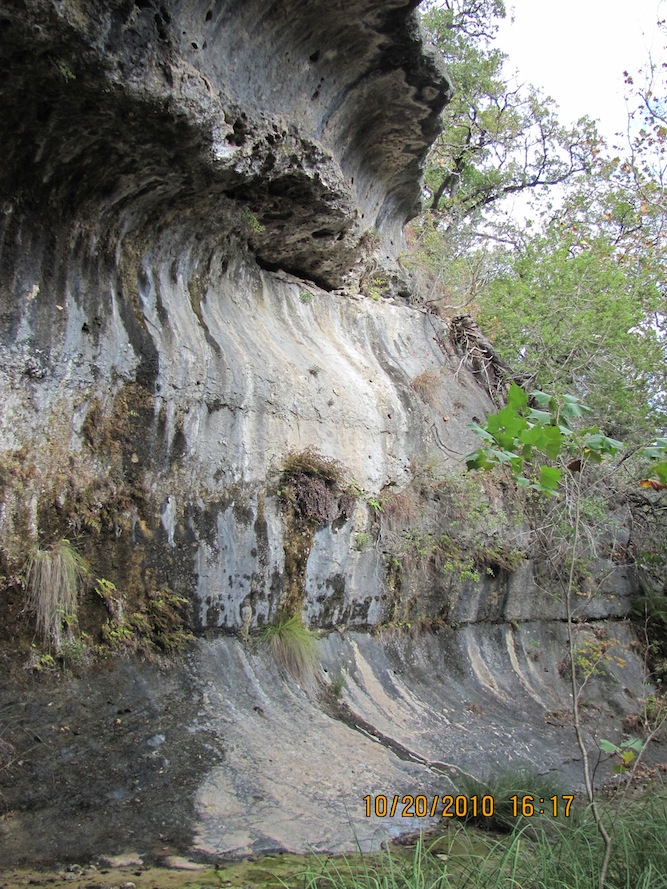
Somewhere along this way, I saw this part of the creek way down below the level of the trail, so I climbed down the steep slope to take some photos of this cliff.
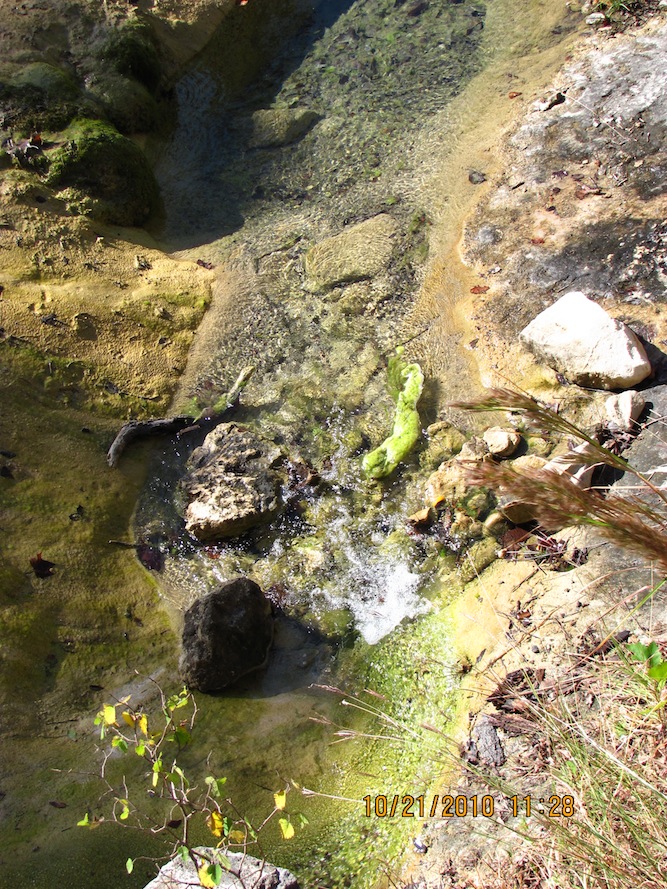
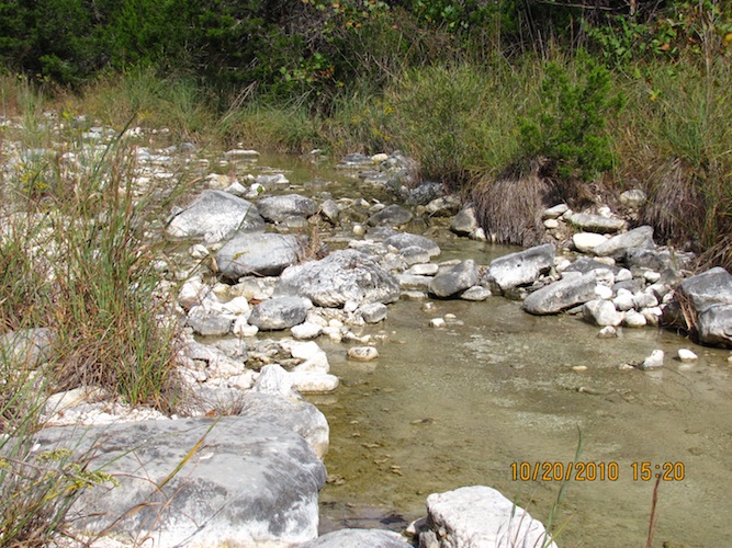
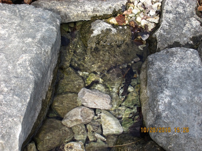
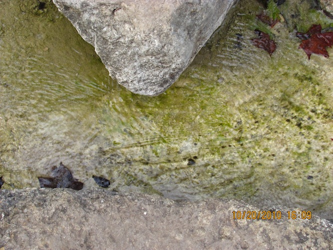
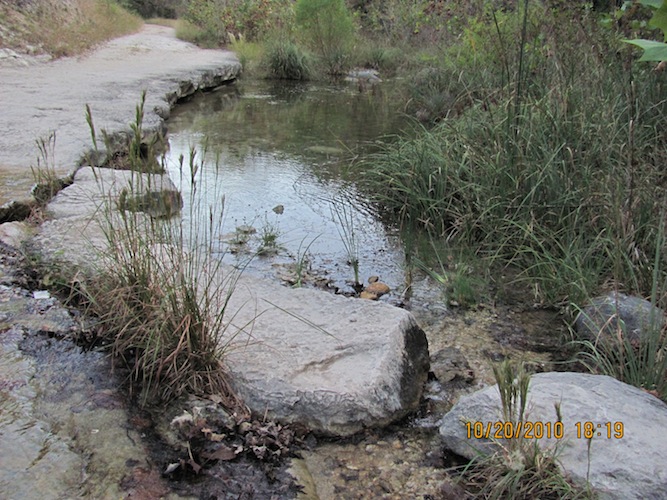
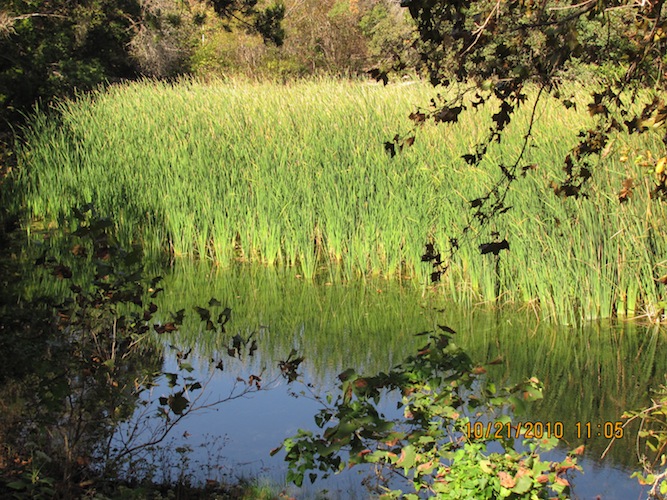
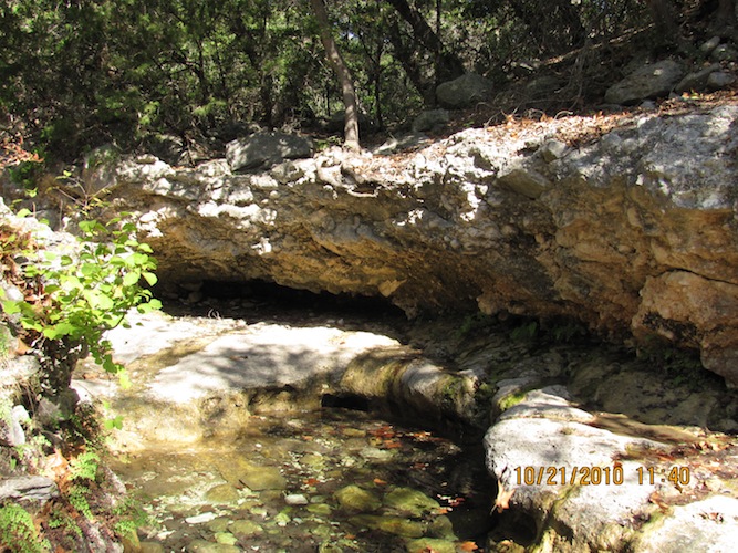
Turning off to the west onto the West Loop Trail and going west a ways, I ran into this nice pool that appears to be spring-fed.
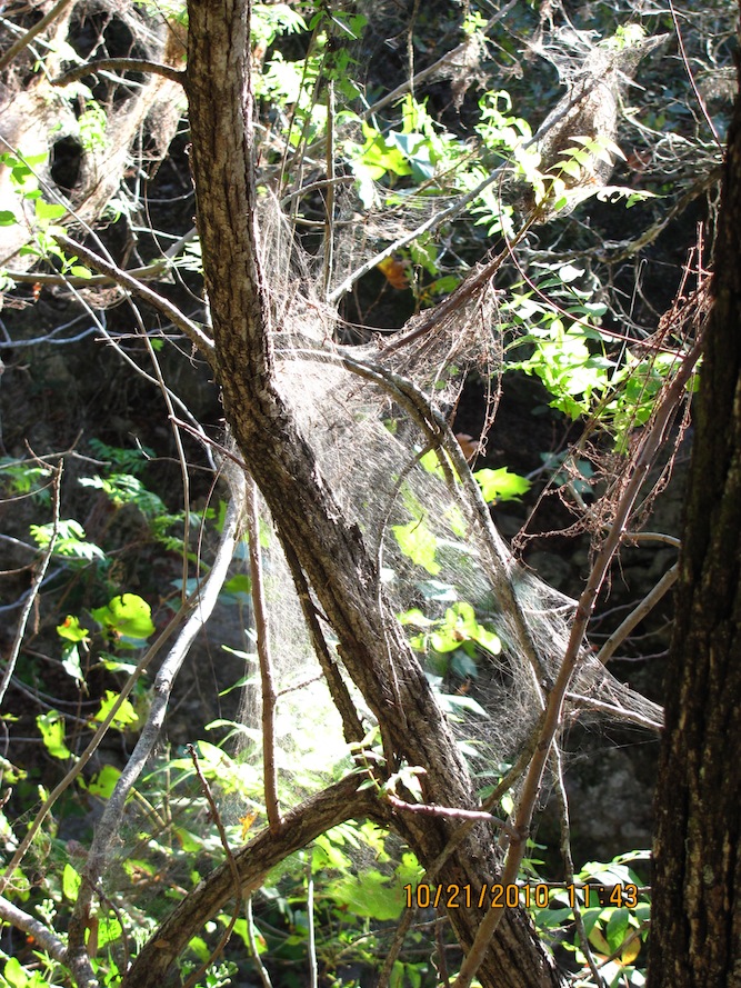
I noticed during the hikes that here and there are these spider webs in the trees. I have heard that it's either the caterpillars or the spiders that make them. And there's more of these bright red vines I saw yesterday.
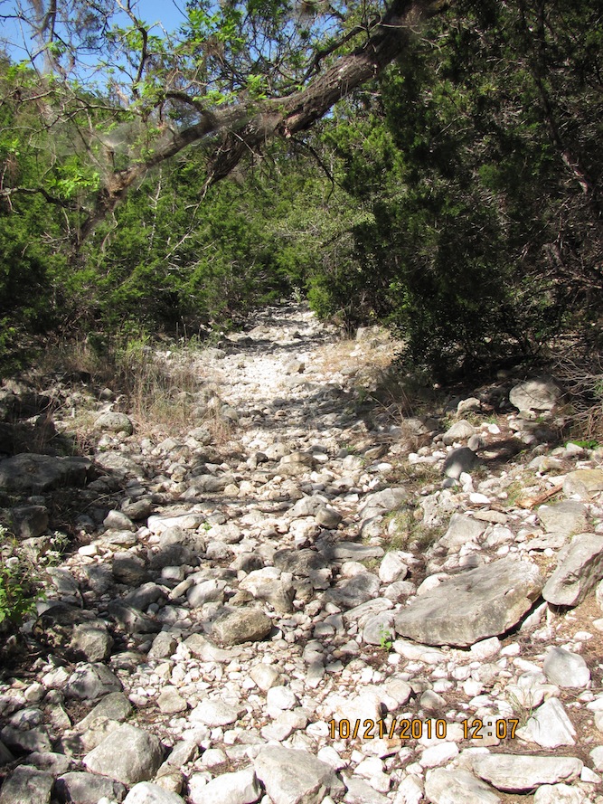
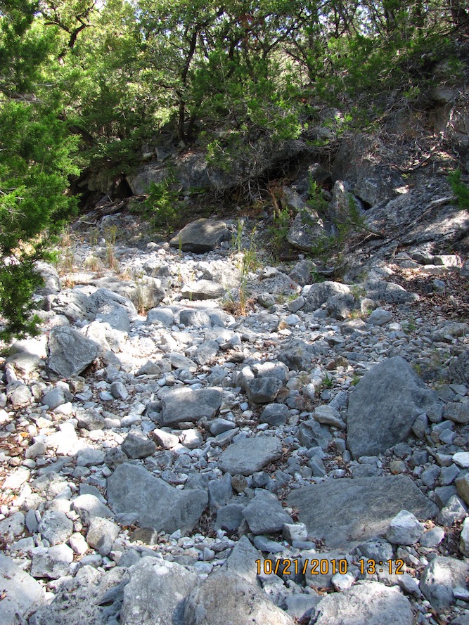
Now, this is what the West Loop Trail looked like most of the time; small-to-medium loose rocks you have to walk carefully on. I took this trail in a clockwise direction, turning south at the fork. I wanted to get the first climb southward done, but I don't know if it would have mattered which way around I went except that the way back down to the beginning of this loop felt like a long way down. Even though I was going down in the last part, I still had to watch my step, every step of the way. That was just as tiring. And it was hot, too.
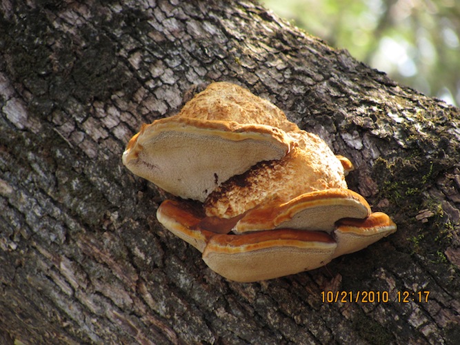
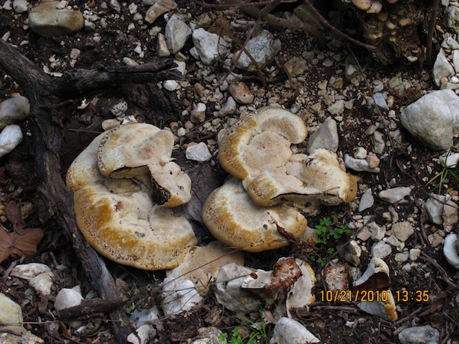
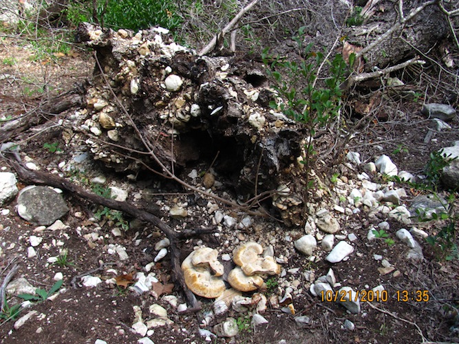
I also found fungus growing on trees, dead or alive.
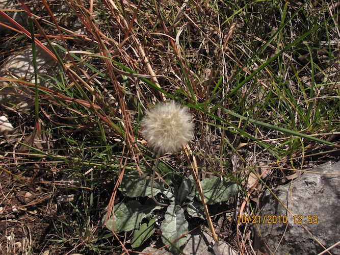
Somewhere on this trail, I found the only dandelion I recall seeing in this park.
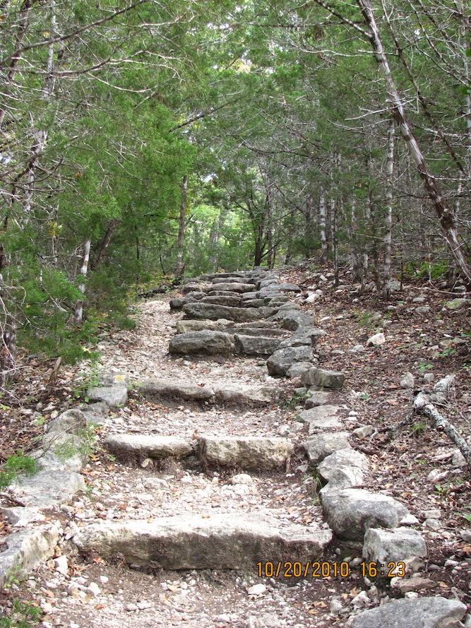
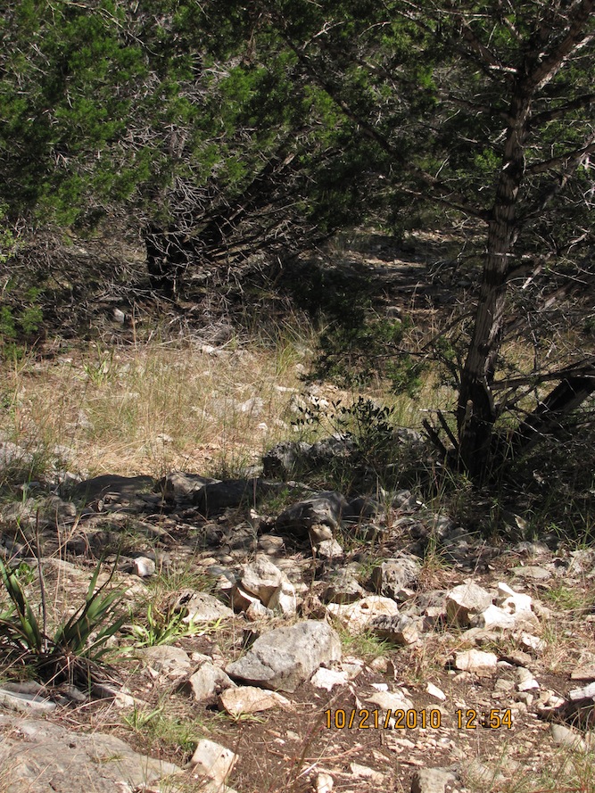
This part of the park is pretty rocky, even where it's mainly dirt.
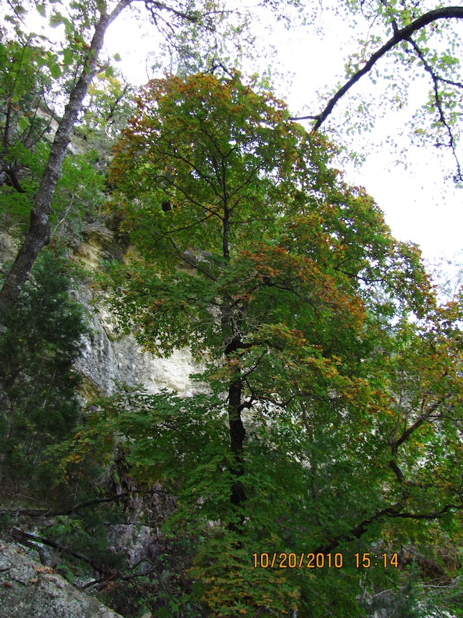
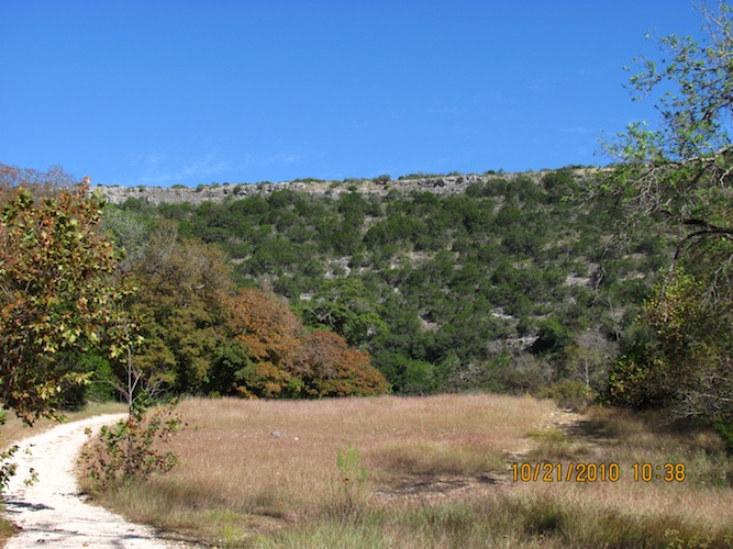
I was hoping that by this time of the year, the trees had started turning in earnest, but we hadn't had a good freeze yet to get the new turn in nature's cycle going.
Final view of the West Loop Trail.
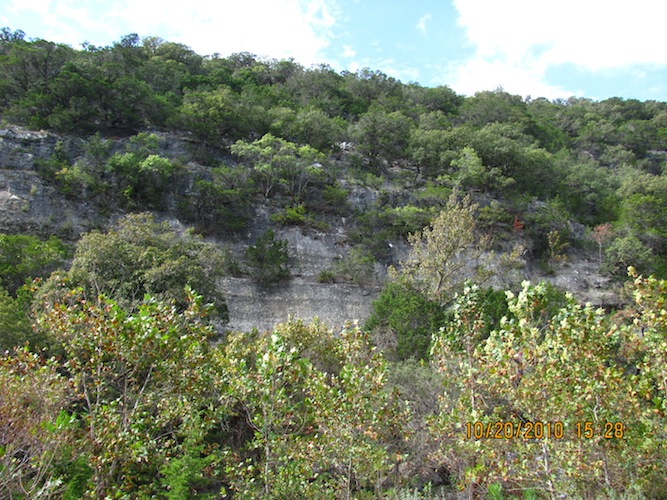
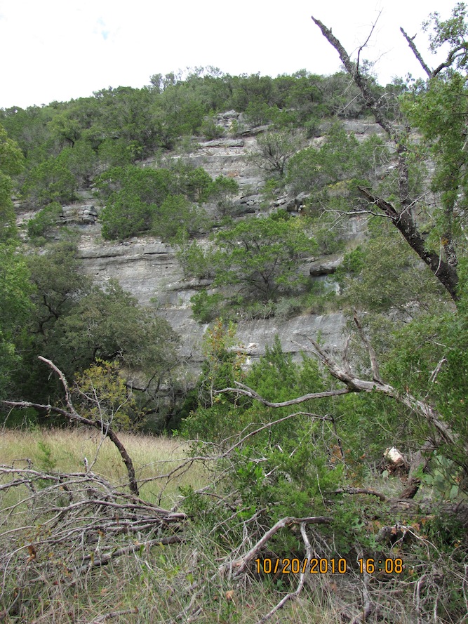
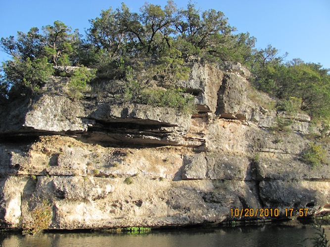
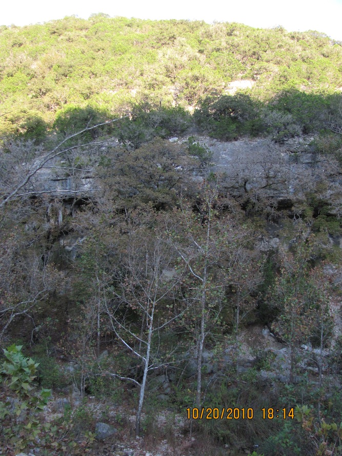
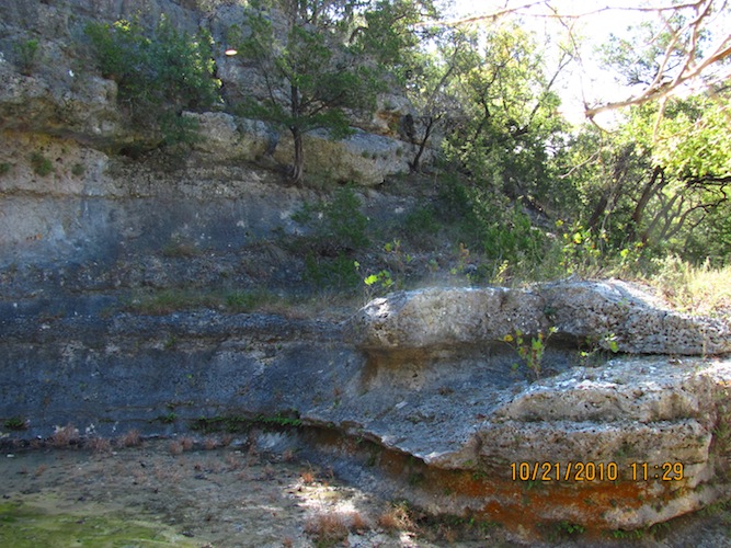
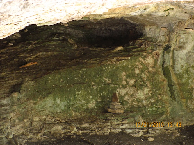
Here's an interesting rock formation along Mystic Canyon in the first photo, but look more closely in the second one; it looks like someone set up a cairn in it. I wonder what it's for... The thing I notice about this park, for Texas, is that it's geologically interesting to me. I love this place!

Before I got to Campsite E, there was another steep climb, and I, as before, switch backed side-to-side along the width of the trail. I was getting tired, so I would stop to take a break and keep drinking water periodically. At the top, it was typical plains with cactus, what I grew up with in south Texas. Somewhere along the way to Campsite E, I heard this very loud sound that sounded like rattle snakes, so I turned up my hearing aids and my habit of looking at the ground when I walk along (ask my coworkers if I do this at work and why). I looked around in ten-feet circles around me for snakes, as I couldn't tell where it was coming from. Eventually, the sound went away as I went past it.
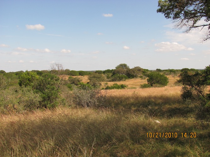
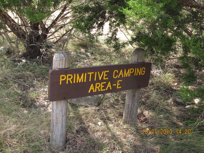
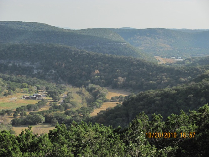
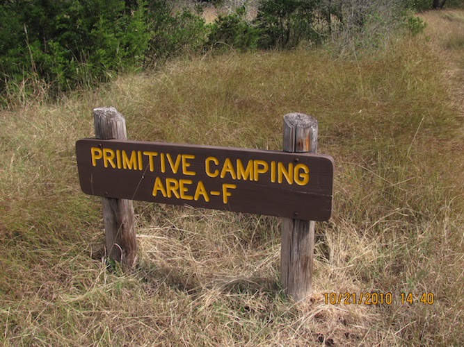
After visiting Campsite E, I kept going, this time east towards the next outhouse, where I took a potty/water break and saw hilltops miles away. I left, heading north to see the Campsite F area just so that I could say, "I did it."
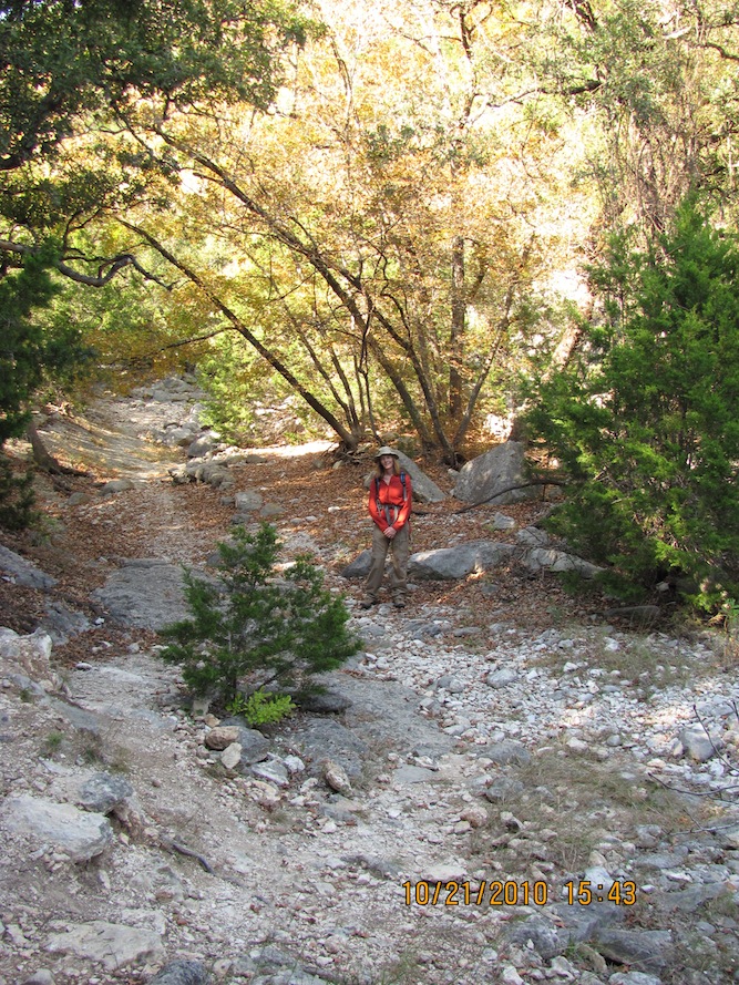
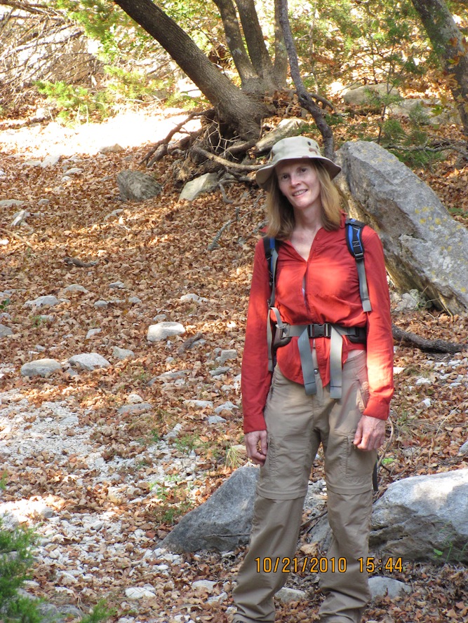
I came back to the fork near the outhouse and rested again. I was tired, but had some time left in the day, so I rested a bit. It was getting close to 3 PM when a couple from San Antonio in sneakers came ambling in to rest a bit before heading further around in the opposite direction I came from(!). We sat and talked a bit, getting to know each other. I warned them about the amount of time left in the day and how long I took to do the Trails. They decided that they could try again at another time and headed back with me eastward. At this point I was really tired, hiking downhill towards Campsite D, which I missed on purpose because there wasn't much time left and I was just wiped out. Say it with me, people. "Waaaaped out... Just plum waaaped out." Along the way, the couple was kind enough to take a couple of photos of me.
After this point, I put my camera up and focused on getting out and back to the tent. Today was even hotter, and I was going through my water faster, which had me a bit concerned. I'm bad about cramps if I don't drink enough water. I rested a couple of more times along the way after losing the couple. I took my time, putting one foot in front of the other. I had hiked more than 11 miles on this trip, so I was about done.
I got back to the west trailhead and fired up the truck and the AC, and that felt GOOD! I headed back to the campgrounds to shower and relax. Reflecting back on the hike of the day, I felt good about being able to do the hike. It was very challenging for me.
I ate and decided to head out for a drive in the area. I went south on Hwy 187 back towards Vanderpool and I turned west onto Ranch Road 337. This turned out to be a great drive. There are no photos of this drive because it was too scary with the hairpin curves (one forced me to slow down to 15 MPH!). There were also some steep climbs (okay, not like mountains!) on the way to Leakey. Leakey is about 15 miles down the rood. It was getting dark by the time I got there. I didn't realize that it was going to take longer to get there than 15 minutes because of the hairpin curves, but I enjoyed the drive and the scenery. I drove around Leakey a bit. There are a few local businesses and NOT MUCH happening there. A quiet town, even in the neighborhoods. If you are in the area, you must drive down this road to take in the hill country with its winding roads, steep hills, and greenery. It offers much more dramatic landscapes than Hwy 187 to the south.
Heading back, an unexpected surprise was waiting for me... Someone was in my campsite! It was a woman and her son (and his girlfriend) who arrived after the park office had closed, so she wasn't sure as to what to do. There was no sense for them to drive back to San Antonio, where they were visiting from. They had already set up their campsite near my tent, so I thought, "Well, they're here already, and I can sleep without them disturbing me." We arranged for me to go in the morning to the park office on my way out and let the staff know that this family wanted my campsite and I was leaving. We had a great evening talking about our lives and the trips we were taking here in the park. Finally, I turned in. I felt very tired, but very happy that I was able to do the entire trail system in 10 hours and have a great time. I went to sleep and slept very well, knowing there were two women and a man close by for safety.
I woke up to the same thing in the morning; no soreness in my legs and no cramps through the night. I got ready, broke camp, and ate before heading out and saying my goodbyes. I stopped by the park office to pick up a Lost Maples t-shirt with embroidered lettering and leaves and briefly share my stories. I was going to get a supreme-quality shirt for my efforts!
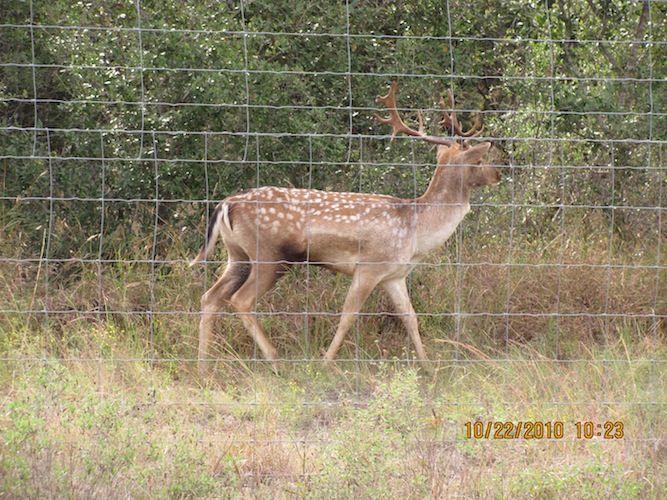
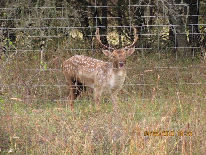
I headed out southward on 187. I had thought about taking a slightly different route home. I headed down 187 through Utopia, and instead of going all the way to Sabinal, I headed east on Ranch Road 1796 just to see what was out here. Even down there, I still wasn't getting cell phone reception. But, oh wow, what a sight! This looks like a Chital deer or an Axis deer, which is not native to Texas, but imported possibly in the 1930s. Well worth the route diversion!
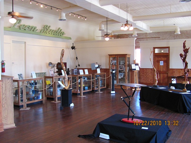
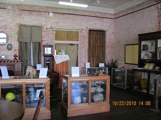
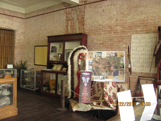
I stopped in D'Hanis to eat and drain out the ice chest full of water and check on my e-mails for a couple of minutes for any emergencies I might have waiting for me. I headed on my way home and stopped in Seguin to visit the Heritage Museum and have a look-see. I drove a bit to see what was here, going from east to west parts of town, and I walked inside a music store that didn't have very many instruments. Mainly guitars, but only one drumset in the display window. The Museum holds a lot of history of Seguin, going back to the frontier days.
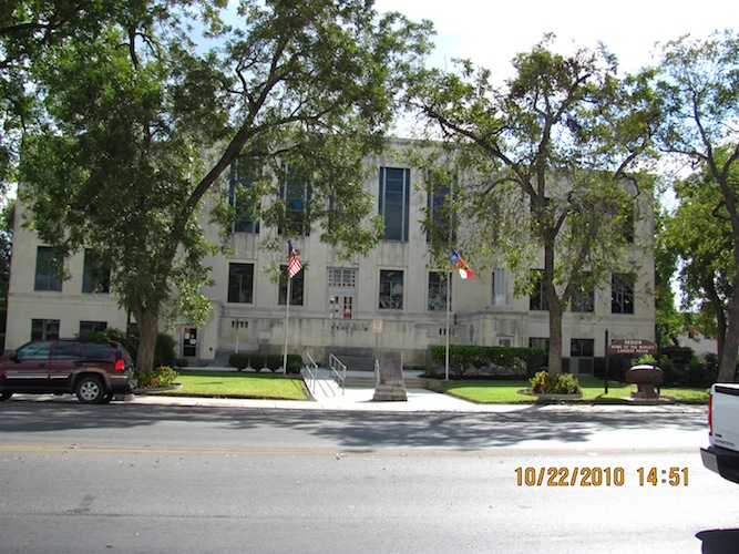
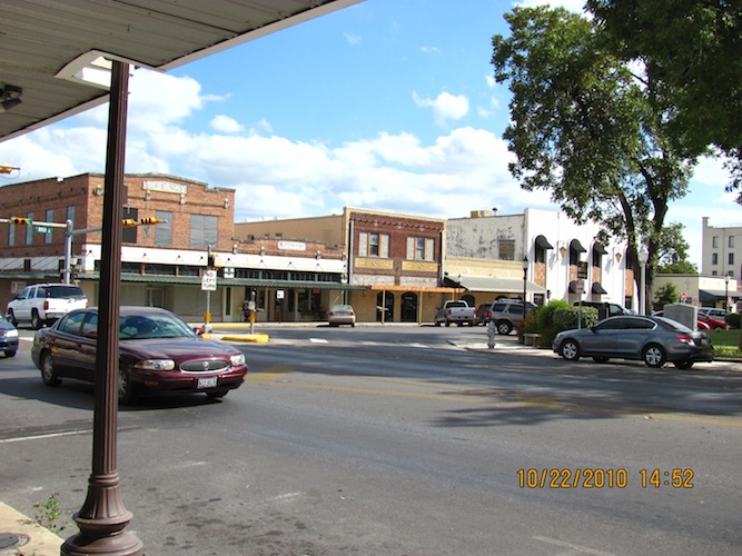
This looks like city hall for Seguin. To the left of the city hall building, a view of the more modern town square than what I saw in Nacogdoches.
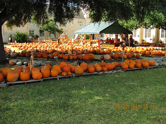
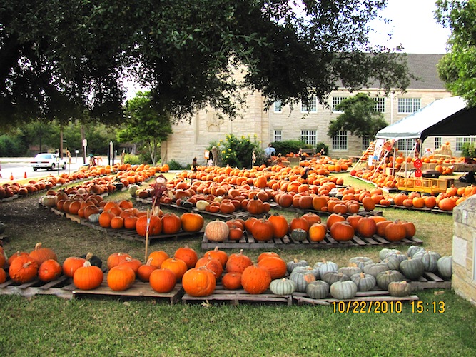
On my way back up to I-10, I saw a whole field of pumpkins in a churchyard! I just had to pull over for the visual effect! I don't remember ever seeing that many pumpkins!
I had to wait for the train to clear before I could make the rest of the way home.

I have to go back and do Lost Maples again next year! It was an awesome trip. It would be nice to do that one and a number of parks in the area in a week's time. I would be working this coming week before I head out on my next trip to Carrizo Springs in south Texas for my 25th high school reunion.