We met with the remaining family members down in the breakfast room; Richard, Heidi, and Christelie. The others were asleep or had departed the evening before. We said our bye-byes.
(I forgot to mention yesterday that when the reunion was largely over, we handed over our SD cards from our cameras so Heidi could copy the photos before giving the cards back to us. She will later make some giant photo album on disk to send out in the future.)
Since Panna had decided we were going to follow her Magellan car GPS home, I asked Christelie for a lesson on how to use it so that I could see the route and see if it made sense and how to access the route list. These things are easy to use and read, and like magic! If you get off somewhere, it'll get you back on and has voice directions. I remember the day we arrived in the area and had trouble finding the way to Pam and Rick's house - we had to go off in a different direction and hope that the GPS would plot us a different route, which it did. A limitation of using GPSes is that road data change from new or ongoing construction is sometimes not reflected in the database for the GPS maps. In this case, it was a name change that tricked us out of it, but we caught on once we followed someone back to our room and realized it was the same road we had decided to avoid. You live and learn, I guess. Anyway, while Panna would be driving in the first part, I would be using the GPS to read out distances and see where the route was taking us, and help Panna through the tricky interchanges ahead of time (since I could drag the route and "read ahead"), and while I was driving, Panna would say out to me what the GPS was saying out loud. We hugged Christelie bye one more time, but not without my begging her to show me their beautiful log cabin home, which I had seen parts of during the shower days and using their Internet connection (neither of which is installed in Panna's cabin yet; in essence, we're camping out at the cabin!). She would be home tomorrow during the day, so that would be my chance to see it.
I want to add here that during this whole trip, I opted for my blackberry map on the phone rather than the paper maps I brought with me, which was a lot easier to use during the night drives and could zoom to any level for detail. It's not GPS-enabled (as I don't want to pay for that functionality at this time), but I scroll and follow the route written down on my paper maps. But during the drive back to Columbus, I would go back and forth between the phone and the GPS, since we had NO IDEA where the GPS was leading us while driving blind and declaring "Let's see where it takes us!" This was the first time I drove not knowing exactly where I was going! Hopefully it wouldn't lead us into any lakes!
We headed up I-495 north to connect with I-90 west to leave Massachusetts for Hartford, Connecticut via I-84 west.

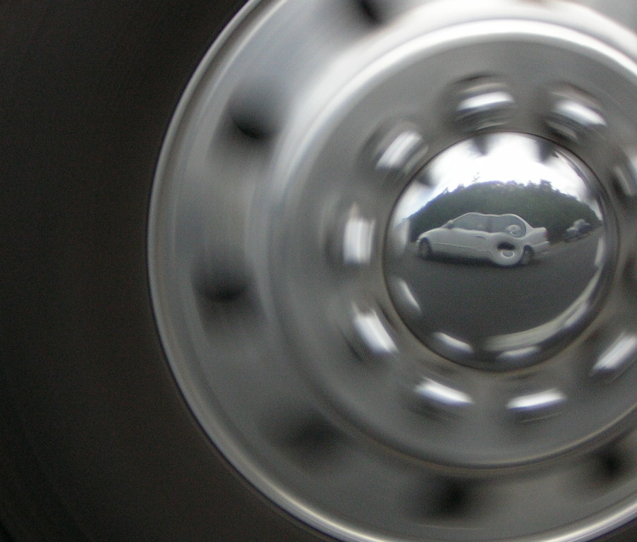
Here, you can see my aunt's car in the tractor's axle cap and maybe even my camera just above the front door handle! I couldn't pass it up!
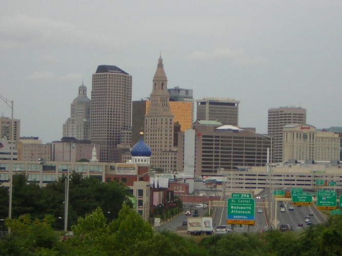
We crossed the Connecticut River via the Bulkeley Bridge, said to be the oldest on the Interstate system. I was attempting to take a photo of downtown Hartford on the bridge when she realized it and pulled over, and lined me up in between the vertical posts of the guard rail. I got a really good photo of the skyline before admonishing her for pulling over like that. That was fun!
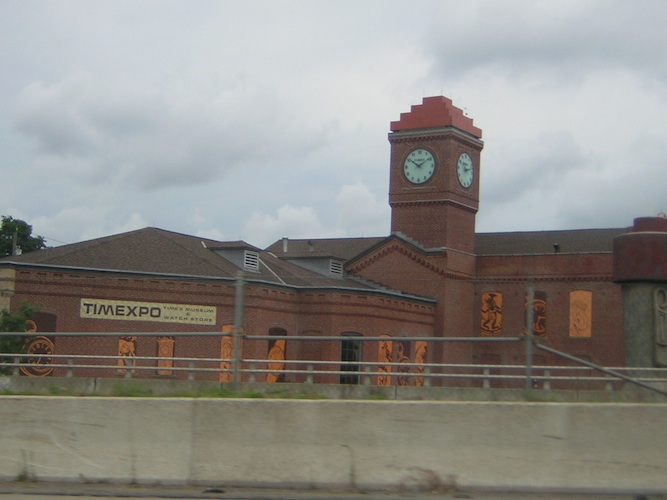
We continued on I-691/I-84 west to Waterbury (here, you can see Saint Mary's Hospital, the Timex museum, and an old town clock, which we did not have time to visit), and some time after that, we headed through New York state in the southern region above New York City, which we avoided like the plague to miss all that traffic.


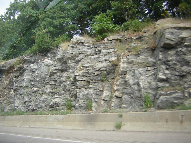
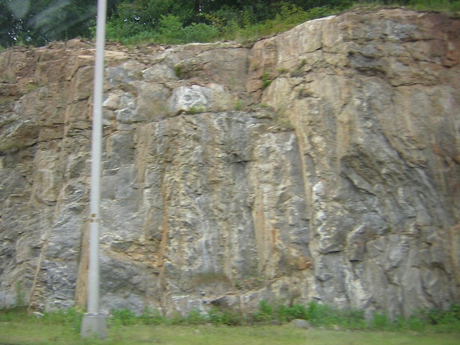
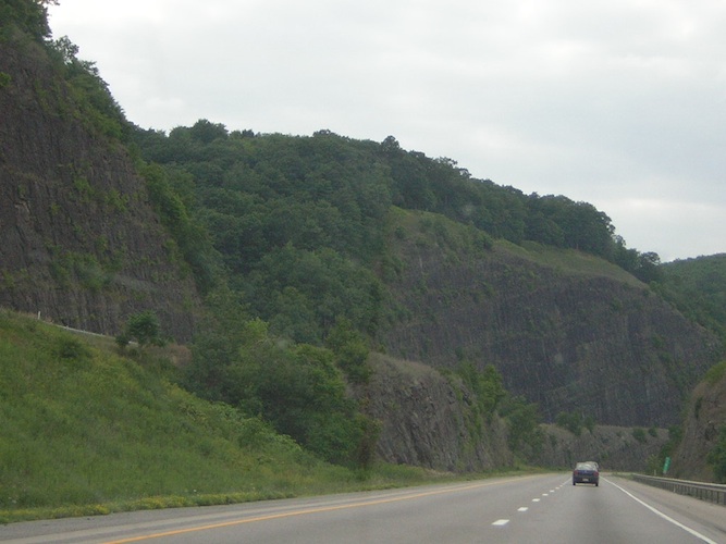
I-84 really meanders through this state, giving us great views of greenery, lots of trees, hills, and short cliffs of dark/black rock, with some iron veins and underground water trickling out of the cliff's face in a few places, leaving wet, shiny runs down the face, and of course, elevation changes. Sure, it's not like driving through the mountains of the western states, but this was a long drive even though cruise control made it a bit easier. These variations are very nice for someone used to driving and living in flat southeast Texas.
Soon, along I-84 west, I came to my first construction jam in 2000 miles! About 12 30, we found we had a message from Wells Fargo regarding the loan, pulled over, and gave the information they requested for the loan processing. A trooper with a sharp, fine-denim-like pressed uniform came up behind to see if we were okay, and then continued on while we wrapped up the conversation. Two hours later, we got confirmation that the loan was approved, but with rather short terms, so I asked the salesman to try to get longer terms for the loan. Hopefully, we would have word that the loan would be approved and ready to go.
We went south on I-81, seeing more beautiful scenery in Pennsylvania before hitting I-80 west to the rest way into Ohio.
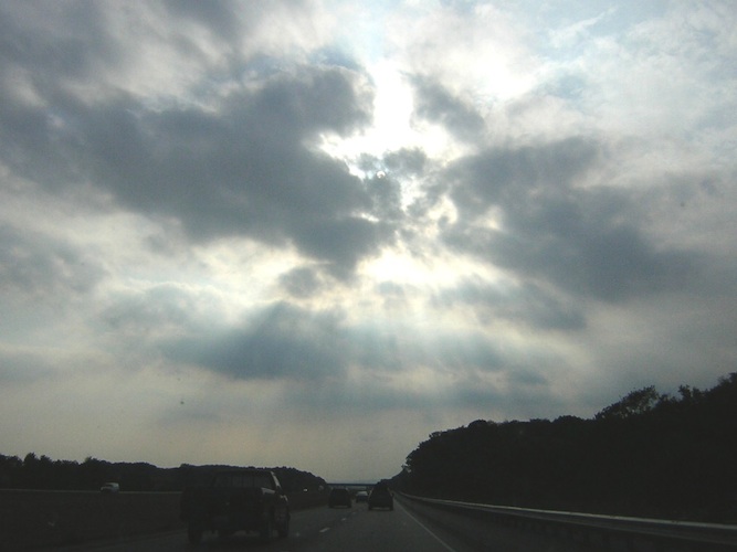
We reached the highest point along I-80 at 2250 feet. Eventually, we went through Akron via I-76 west before we hit I-71 south to Columbus. The last few miles were foggy, dark, and unfamiliar as the GPS led us down a path that Panna does not usually use. A couple of dogs chased us on the local roads, and that scared me because I didn't want them to be hurt.
We finally arrived at the cabin just after 12 30 AM, more than 16 hours after we left the Boston area. The sound of the crickets of the forest welcomed us back. After we unloaded, I took in a deep breath of the wooden scent of cabin, always a warm, soothing scent. The pathetic, hungry cats forgave Panna for being away so long after 10 minutes of brushing and being sung to. We went to bed soon after, and I fell asleep immediately. Hopefully, the days of driving so late at night would be over.